

zur Info:
Ich bin die Route noch nicht gefahren. Die Tracks wurden lediglich für eine Tourvorbereitung erstellt. Somit kann das tatsächliche Streckenprofil und die Tourdaten, von den hinterlegten Angaben abweichen!!
Grüße
Michael
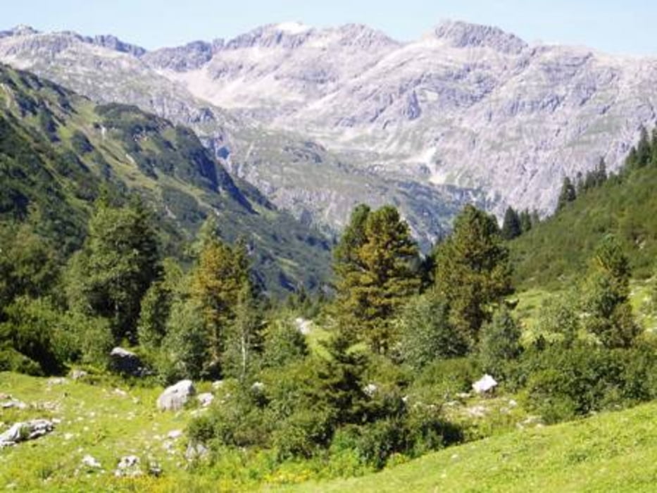
Tour gallery

Tour map and elevation profile
Minimum height 850 m
Maximum height 1913 m
More about the tour author
|
|
Michael_Schneider |
Comments

D A96 - A A14 - Bludenz - Klostertal / Dalaas
GPS tracks
Trackpoints-
GPX / Garmin Map Source (gpx) download
-
TCX / Garmin Training Center® (tcx) download
-
CRS / Garmin Training Center® (crs) download
-
Google Earth (kml) download
-
G7ToWin (g7t) download
-
TTQV (trk) download
-
Overlay (ovl) download
-
Fugawi (txt) download
-
Kompass (DAV) Track (tk) download
-
Track data sheet (pdf) download
-
Original file of the author (gpx) download
More about the tour author
|
|
Michael_Schneider |
Add to my favorites
Remove from my favorites
Edit tags
Open track
My score
Rate