


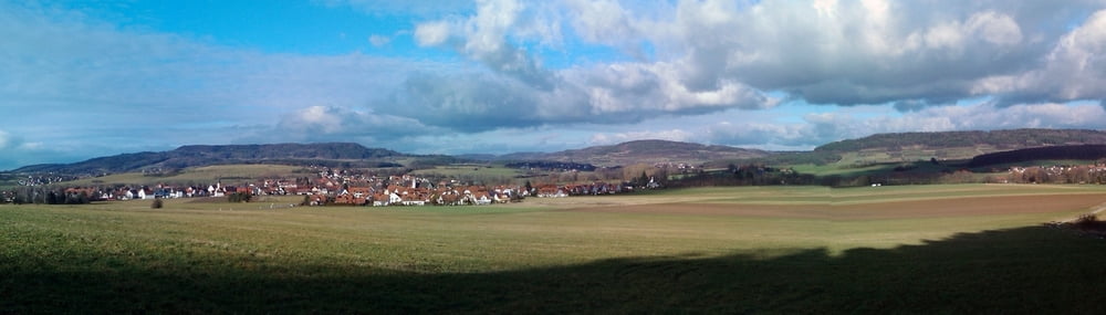
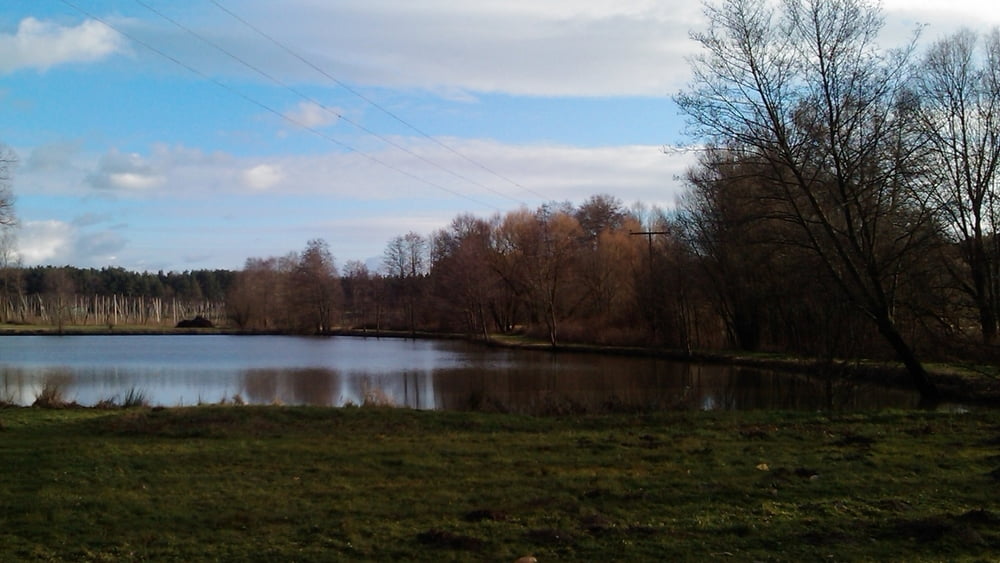
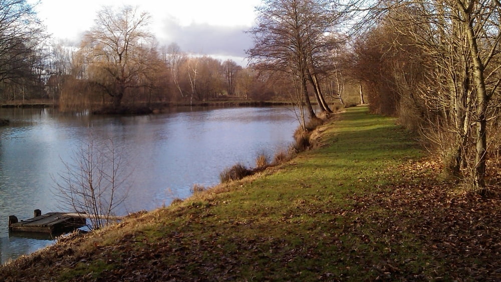
An einem warmen Januartag eine gemütliche Wanderung in der Sonne mit Fernblick und an idyllischen Weihern vorbei.
Vom Parkplatz nach Süden auf Feldweg bis zur Landstraße, links ab auf Fuß-/ Radweg. Vor Eckenhaid mit Markierung "4" und "Blaukreuz" links ab, an Waldspitze rechts haltend zu einer Hecke, kurz entlang und rechts zur Straße. Links auf Fuß-/ Radweg bis zum Kreisverkehr. An 2. Ausfahrt rechts Richtung Schnaittach kurz neben der Straße bis Abzweig Klärwerk. Links ab an Weihern vorbei nach Ebach. Links ab und gleich wieder links auf Weg zum Parkplatz.
Tour gallery
Tour map and elevation profile
Minimum height 322 m
Maximum height 367 m
More about the tour author
|
|
heinz-57 |
Comments

Google Earth: 49.591041°N / 11.236811° E
Auf B2 nach Eckental/ Forth, Abzweigung nach Schnaittach. Nach ca. 1km vor Mausgesees rechts Parkmöglichkeit an Feldweg
GPS tracks
Trackpoints-
GPX / Garmin Map Source (gpx) download
-
TCX / Garmin Training Center® (tcx) download
-
CRS / Garmin Training Center® (crs) download
-
Google Earth (kml) download
-
G7ToWin (g7t) download
-
TTQV (trk) download
-
Overlay (ovl) download
-
Fugawi (txt) download
-
Kompass (DAV) Track (tk) download
-
Track data sheet (pdf) download
-
Original file of the author (gpx) download
More about the tour author
|
|
heinz-57 |
Add to my favorites
Remove from my favorites
Edit tags
Open track
My score
Rate