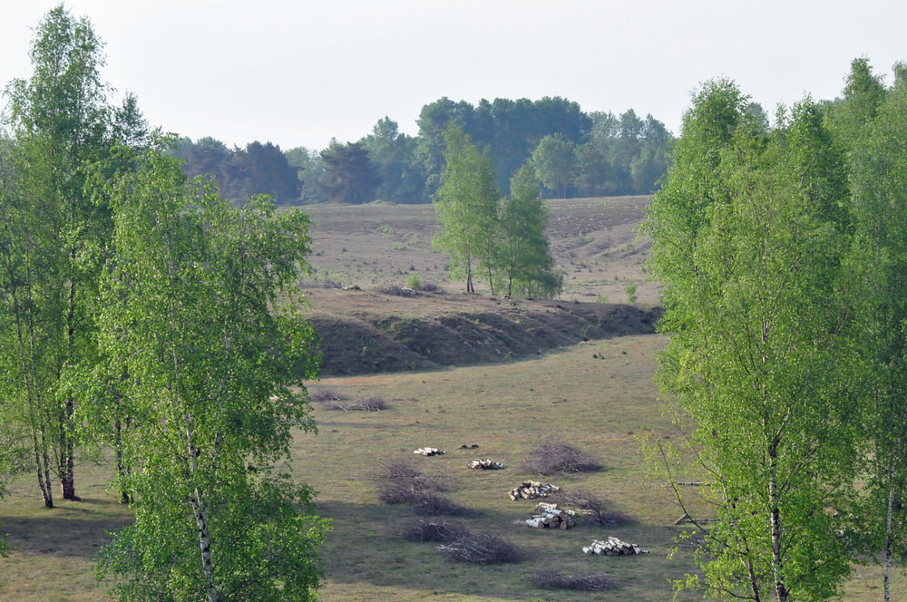
Heute morgen waren wir mal in der Teverener Heide wandern. Eine wunderschöne Heidelandschaft mit vielen Seen und sehr abwechslungsreicher Natur. Wer mehr wissen möchte und auch mal im Grenzwald nach Holland unterwegs sein will, der kann auf folgendem Link mehr zu diesem Gebiet erfahren.
Tour gallery
Tour map and elevation profile
Minimum height 84 m
Maximum height 116 m
Comments

GPS tracks
Trackpoints-
GPX / Garmin Map Source (gpx) download
-
TCX / Garmin Training Center® (tcx) download
-
CRS / Garmin Training Center® (crs) download
-
Google Earth (kml) download
-
G7ToWin (g7t) download
-
TTQV (trk) download
-
Overlay (ovl) download
-
Fugawi (txt) download
-
Kompass (DAV) Track (tk) download
-
Track data sheet (pdf) download
-
Original file of the author (gpx) download
Add to my favorites
Remove from my favorites
Edit tags
Open track
My score
Rate


