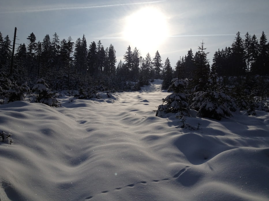
Die Tour beginnt am Wanderparkplatz Fürstenstein, auf dem S-Weg vom Fürstenstein bis kurz vor der Kreuzung S X M-Weg rechts hoch und dann quer Wald ein. Die Kreuzung "Aussicht" kreuzen wieder in den Wald. Weiter unten dann auf schneebedeckten Waldweg zurück zum Ausgangspunkt.
Viel Spass und Schnee.
Tour gallery
Tour map and elevation profile
Minimum height 657 m
Maximum height 792 m
Comments

A9 Abfahrt Bayreuth nord, >Goldkronach>Brandholz Hinweisschild Schmutzlerstollen folgen daran vorbei bis Ende der Straße.
GPS tracks
Trackpoints-
GPX / Garmin Map Source (gpx) download
-
TCX / Garmin Training Center® (tcx) download
-
CRS / Garmin Training Center® (crs) download
-
Google Earth (kml) download
-
G7ToWin (g7t) download
-
TTQV (trk) download
-
Overlay (ovl) download
-
Fugawi (txt) download
-
Kompass (DAV) Track (tk) download
-
Track data sheet (pdf) download
-
Original file of the author (gpx) download
Add to my favorites
Remove from my favorites
Edit tags
Open track
My score
Rate


