


Tour: Rheinebene Taubergießen
Start der Tour ist in Herbolzheim Gasthaus Schützen
dann geht’s über Ringsheim Orschweier Nonnenweier
durch den Taubergießen bis Oberhausen und zurück
nach Herbolzheim.
Diese Tour ist sehr bequem und kann auch mit einem Trekkingrad befahren werden.
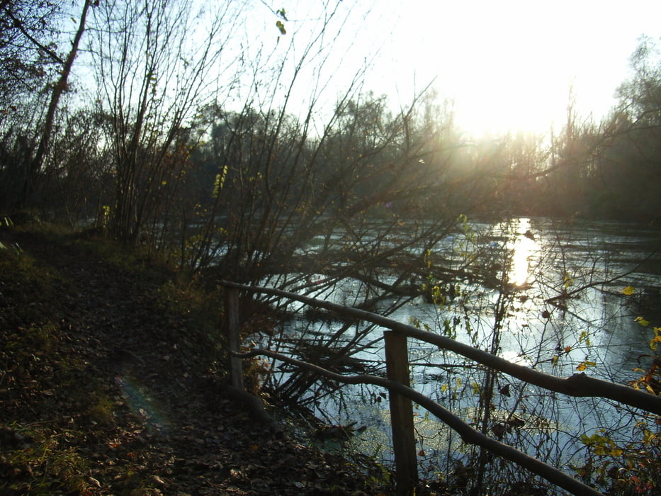
Die Tour führt durch Wald und Wiesen am Rhein entlang, dann durchs
Naturschutzgebiet Taubergießen .Einige Schautafeln informieren über
Fauna und Flora, reizvolle Landschaften laden zum Verweilen ein.
Achtung es sollte ein bis zwei Tage nicht geregnet haben sonst etwas matschig .
Tour gallery


Tour map and elevation profile
Minimum height 159 m
Maximum height 189 m
More about the tour author
|
|
AJA95KG |
Comments

GPS tracks
Trackpoints-
GPX / Garmin Map Source (gpx) download
-
TCX / Garmin Training Center® (tcx) download
-
CRS / Garmin Training Center® (crs) download
-
Google Earth (kml) download
-
G7ToWin (g7t) download
-
TTQV (trk) download
-
Overlay (ovl) download
-
Fugawi (txt) download
-
Kompass (DAV) Track (tk) download
-
Track data sheet (pdf) download
-
Original file of the author (gpx) download
More about the tour author
|
|
AJA95KG |
Add to my favorites
Remove from my favorites
Edit tags
Open track
My score
Rate