
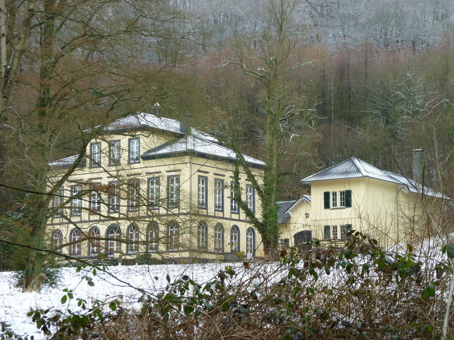

Ich starte am Parkplatz unterhalb des Schloßes Rennenberg, kurz vor der Kurve zur Asbacher Str. geht es links auf einen kleinen Parkplatz.
Die Strecke führt am Schloß vorbei, umrundet die Burgruine und führt im weiten Bogen dann wieder zum Schloß zurück.
Bitte beachten Sie die kleine Korrektur auf der Strecke, dort hatte ich den Abzweig zum Wanderweg verpasst. Es ist wenig ratsam, so wie ich es tat, den Hügel hinunter zu klettern.
Insgesamt ist die Tour im Schnee sehr schön gewesen und im Sommer verspricht sie mit den abwechslungsreichen Wald-, Wiesen und Feldwegen ein schönes Erlebnis zu werden.
Tour gallery

Tour map and elevation profile
Minimum height 104 m
Maximum height 343 m
More about the tour author
|
|
Rennschnuckel |
Comments

GPS tracks
Trackpoints-
GPX / Garmin Map Source (gpx) download
-
TCX / Garmin Training Center® (tcx) download
-
CRS / Garmin Training Center® (crs) download
-
Google Earth (kml) download
-
G7ToWin (g7t) download
-
TTQV (trk) download
-
Overlay (ovl) download
-
Fugawi (txt) download
-
Kompass (DAV) Track (tk) download
-
Track data sheet (pdf) download
-
Original file of the author (gpx) download
More about the tour author
|
|
Rennschnuckel |
Add to my favorites
Remove from my favorites
Edit tags
Open track
My score
Rate