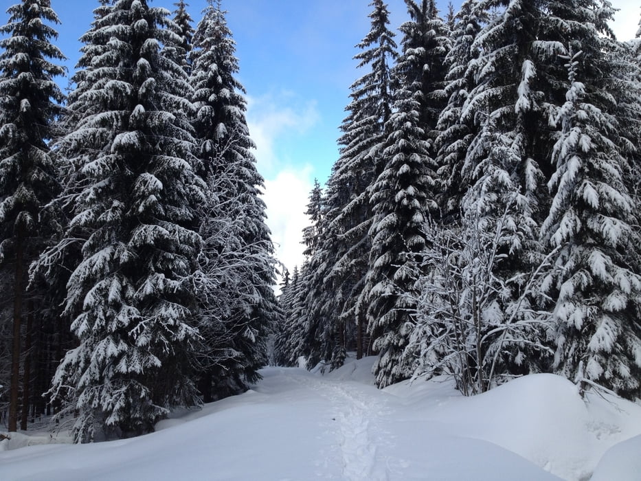
Die Tour beginnt am Seehausparkplatz führt über eine verschneite Forststraße und zweigt dann nach links ab, von da geht es auf einem Rückeweg und einem Wanderpfad zur Platte. Auf dem H-Weg läuft man dann zum Seehaus wo sich eine Einkehr anbietet (Montag Ruhetag). Berg ab geht es dann wieder durch den Wald zum Parkplatz.
Viel Spass und Schnee.
Tour map and elevation profile
Minimum height 666 m
Maximum height 922 m
Comments

A 9 Ausfahrt Bayreuth nord >Bischofsgrün>B303 Seehausparkplatz
GPS tracks
Trackpoints-
GPX / Garmin Map Source (gpx) download
-
TCX / Garmin Training Center® (tcx) download
-
CRS / Garmin Training Center® (crs) download
-
Google Earth (kml) download
-
G7ToWin (g7t) download
-
TTQV (trk) download
-
Overlay (ovl) download
-
Fugawi (txt) download
-
Kompass (DAV) Track (tk) download
-
Track data sheet (pdf) download
-
Original file of the author (gpx) download
Add to my favorites
Remove from my favorites
Edit tags
Open track
My score
Rate

