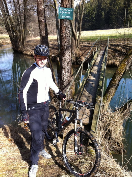
Von Hemau aus gehts auf der Bundesstrasse Richtung Beratzhausen, und von dort aus dann weiter nach Hardt an der Schwarzen Laber entlang.
Von Lupburg aus dann nach Parsberg und beim Möbelhof in das Waldgebiet rein.
In dem Waldgebiet fährt man eigentlich die ganze zeit auf schönen Schotterstrassen.
Am Spatzenpark vorbei und dann wieder Richtung Neukirchen
Further information at
http://tourismus-landkreis-neumarkt.de/nathus-4710/schwarze-laber-radweg.htmlTour gallery
Tour map and elevation profile
Minimum height 306 m
Maximum height 564 m
Comments

Autobahnausfahrt Nittendorf raus und an der B8 dann nach Hemau/Neukirchen
GPS tracks
Trackpoints-
GPX / Garmin Map Source (gpx) download
-
TCX / Garmin Training Center® (tcx) download
-
CRS / Garmin Training Center® (crs) download
-
Google Earth (kml) download
-
G7ToWin (g7t) download
-
TTQV (trk) download
-
Overlay (ovl) download
-
Fugawi (txt) download
-
Kompass (DAV) Track (tk) download
-
Track data sheet (pdf) download
-
Original file of the author (gpx) download
Add to my favorites
Remove from my favorites
Edit tags
Open track
My score
Rate


