

Erstens kommt es anders, und zweitens als man denkt Runde mit drei kleinen Schnitzern, hab sie drin gelassen weil es nicht schlimm ist.
Ja, der Rückweg ist immer fast gleich aber das kommt daher:
Da fährt einer dahin, und Berg auf und Berg ab ist er gleich schnell, an einer ledernen Kette zieht er mich, dahin und schreit, Feuer , Feuer, Feuer…
Auf geht´s
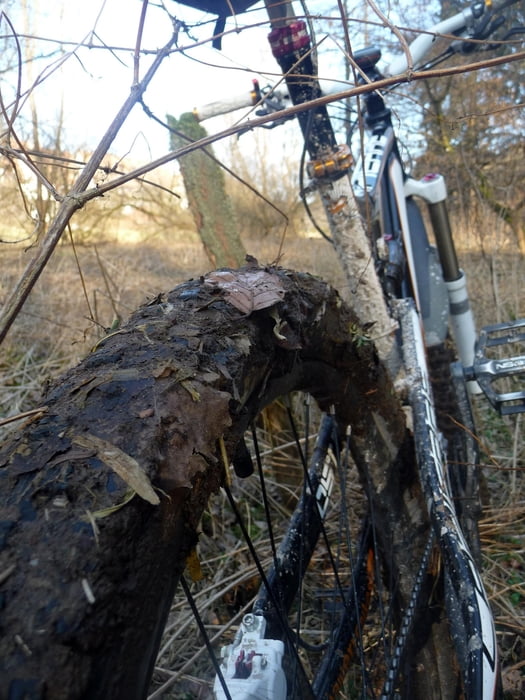
Auf dieser Tour hab ich leider meine Vaude Satteltasche verlohren, is lang her ich weis, es ärgert mich aber immer noch. :-(
in Erinnerung an Dietmar
Further information at
http://mtbkarwendel.mt.ohost.de/frame.htmTour gallery

Tour map and elevation profile
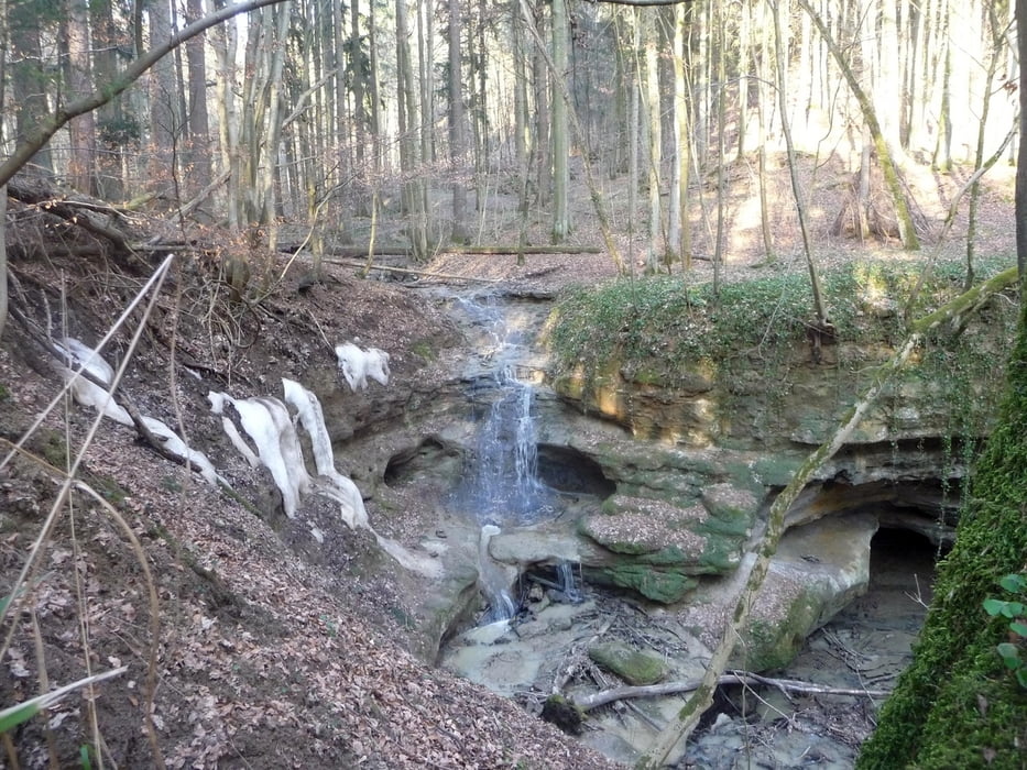
Minimum height 346 m
Maximum height 452 m
More about the tour author
|
|
uweg |
Comments

GPS tracks
Trackpoints-
GPX / Garmin Map Source (gpx) download
-
TCX / Garmin Training Center® (tcx) download
-
CRS / Garmin Training Center® (crs) download
-
Google Earth (kml) download
-
G7ToWin (g7t) download
-
TTQV (trk) download
-
Overlay (ovl) download
-
Fugawi (txt) download
-
Kompass (DAV) Track (tk) download
-
Track data sheet (pdf) download
-
Original file of the author (gpx) download
More about the tour author
|
|
uweg |
Add to my favorites
Remove from my favorites
Edit tags
Open track
My score
Rate