


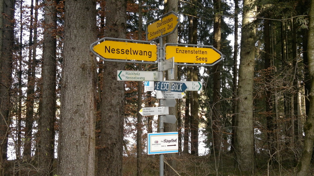
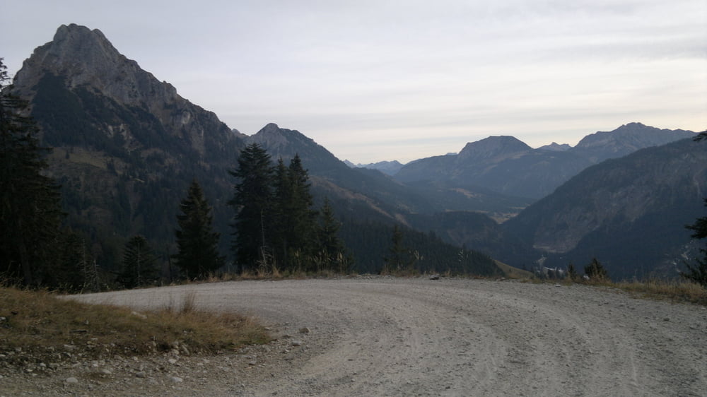
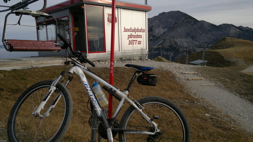
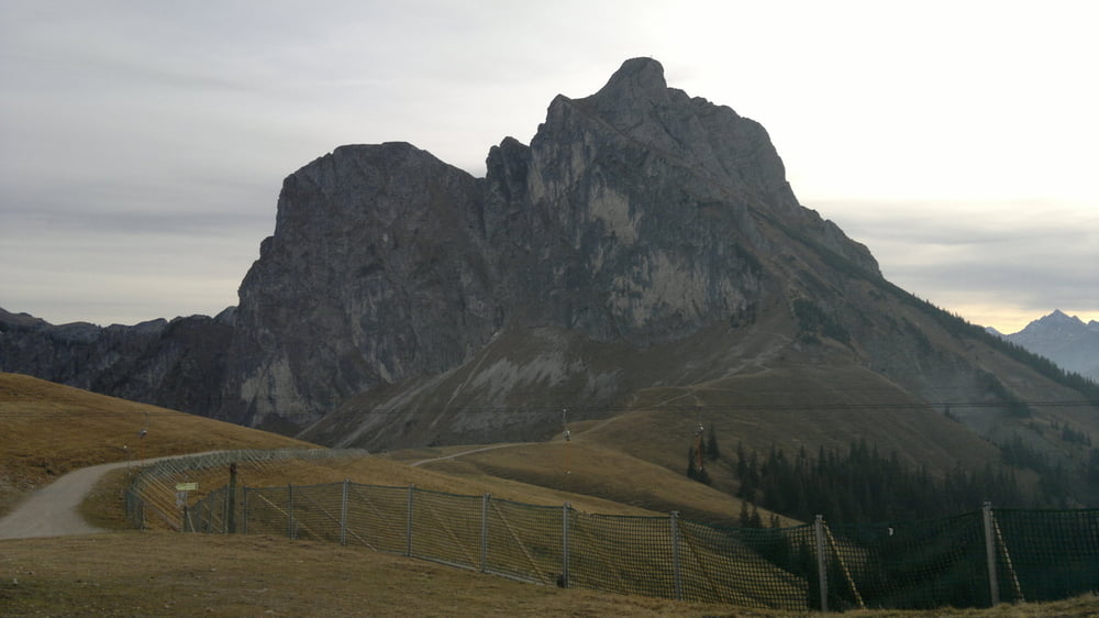
Startet man die Tour wie ich von Görisried, geht es zuerst nach Rückholz und von da am Attlesee und Kögelweiher vorbei richtung Pfronten. Das ganze natürlich mit Traumhaften Panoramaausblicken der Ostallgäuer Alpen. In Pfronten angekommen gehts erst nach Pfronten-Steinach und von da Richtung Grän. Vorm der Grenze zu Österreich gehts dann links zum Breitenberg hoch. Ein Schweißtreibender anstieg den man auch beim Breitenberg Marathon bewältigen muss. Über 700Hm auf 5 km, aber es lohnt sich ;-) Auf der langen, abwechslungsreichen Abfahrt hat man dann Zeit zum abkühlen, bevor es über Nesselwang und Wildberg wieder zurück geht.
Tour gallery
Tour map and elevation profile
Minimum height 830 m
Maximum height 1736 m
More about the tour author
|
|
MTB-Allgaeu |
Comments
GPS tracks
Trackpoints-
GPX / Garmin Map Source (gpx) download
-
TCX / Garmin Training Center® (tcx) download
-
CRS / Garmin Training Center® (crs) download
-
Google Earth (kml) download
-
G7ToWin (g7t) download
-
TTQV (trk) download
-
Overlay (ovl) download
-
Fugawi (txt) download
-
Kompass (DAV) Track (tk) download
-
Track data sheet (pdf) download
-
Original file of the author (gpx) download
More about the tour author
|
|
MTB-Allgaeu |
Add to my favorites
Remove from my favorites
Edit tags
Open track
My score
Rate
Ostallgäu Tour
Heute die Ostallgäu Runde gefahren, eine geniale Tour mit wirklich tollem Panorama! Werd ich sicher wiederholen :-)
Vielen Dank für die Tourdaten!
Grüße