

Startpunkt ist die Bikestation von M-Bike
Zu Beginn geht es über Nebenweg nach Arta und von dort in den Nationalpark.
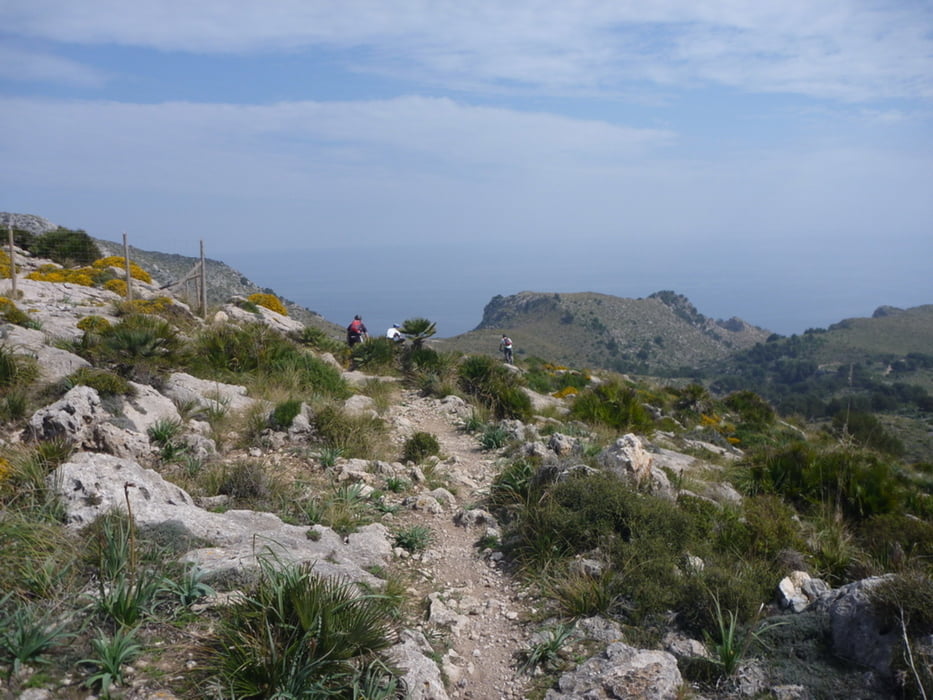
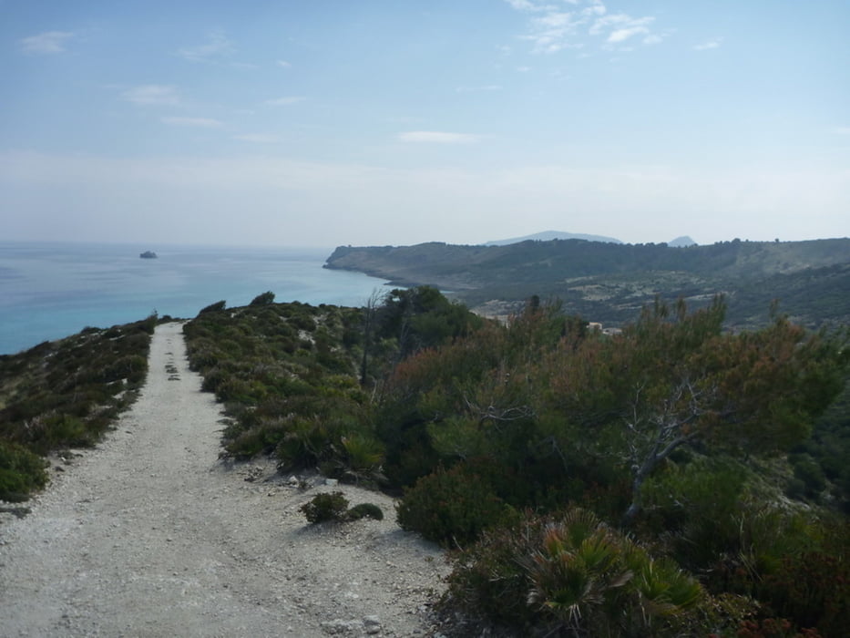
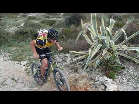
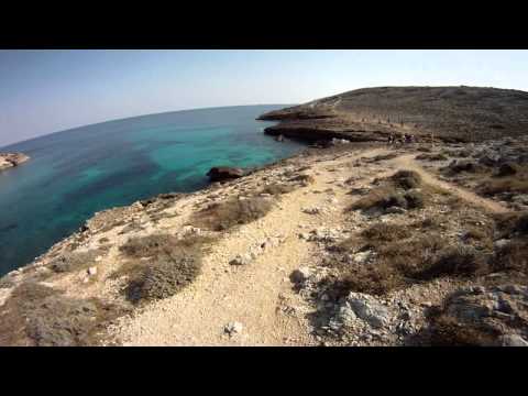
Dort geht es über Asphalt später Schotter (teilweise Trails) bis auf 430m zum höchsten Punkt der Tour. Nach ner kurzen Schotterabfahrt geht es in einen sehr technischen Trail (weniger Geübte müssen hier ggfls. schieben). nach 250hm wird aus dem Trail ein breiterer Schotterweg bis zum Strand. (ideal für die Pause und ein Bad). Danach geht es über grobe Schotterpisten auf 250m hoch. von dort über Arta (Stufen runter) nach Capdepera und dann in den Hafen nach Cala Radjada.
Further information at
http://www.mountaintrails.deTour gallery

Tour map and elevation profile
Minimum height 4 m
Maximum height 434 m
More about the tour author
|
|
Roadrunner75 |
Comments

Mit dem Auto über Capdepera nach Cala Radjada und dann im Zentrum zu M-Bike
GPS tracks
Trackpoints-
GPX / Garmin Map Source (gpx) download
-
TCX / Garmin Training Center® (tcx) download
-
CRS / Garmin Training Center® (crs) download
-
Google Earth (kml) download
-
G7ToWin (g7t) download
-
TTQV (trk) download
-
Overlay (ovl) download
-
Fugawi (txt) download
-
Kompass (DAV) Track (tk) download
-
Track data sheet (pdf) download
-
Original file of the author (gpx) download
More about the tour author
|
|
Roadrunner75 |
Add to my favorites
Remove from my favorites
Edit tags
Open track
My score
Rate