


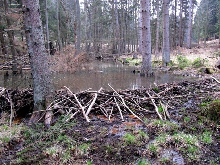
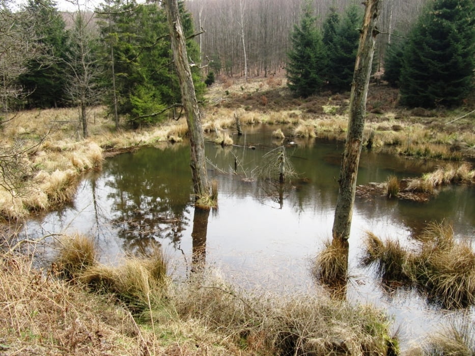
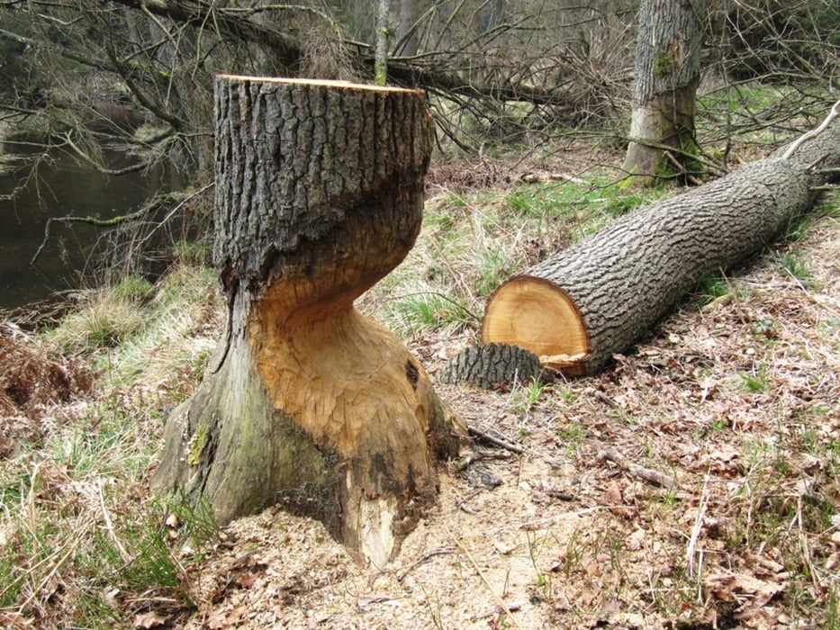
Wir sind vom Wanderparkplatz Süssendell-Infostelle losgewandert. Dort wo man sich für die Rundroute entscheiden muss "links oder recht" herum, sind links im Uhrzeigersinn gegeangen, weil man so schöner die Biberdämme sieht, ist aber natürlich auch anders herum schön. Die Wege sind gut zu gehen, bis auf ein Stück das bei nassem Wetter etwas matschig sein könnte.
Mitte der Rundtour kommt man am Kartoffelbaum und Schutzhütte vorbei, wo wir dann Rast gemacht haben.
Further information at
http://maps.google.de/maps?hl=de&tab=wlTour gallery

Tour map and elevation profile
Minimum height 267 m
Maximum height 432 m
More about the tour author

|
Rancher |
Comments

GPS tracks
Trackpoints-
GPX / Garmin Map Source (gpx) download
-
TCX / Garmin Training Center® (tcx) download
-
CRS / Garmin Training Center® (crs) download
-
Google Earth (kml) download
-
G7ToWin (g7t) download
-
TTQV (trk) download
-
Overlay (ovl) download
-
Fugawi (txt) download
-
Kompass (DAV) Track (tk) download
-
Track data sheet (pdf) download
-
Original file of the author (gpx) download
More about the tour author
|
|
Rancher |
Add to my favorites
Remove from my favorites
Edit tags
Open track
My score
Rate