

Die Tour beginnt in Can Pastilla und führt auf einem perfekten Radweg der Küste entlang nach Palma. Vondort geht es in die Berge über Calvia, Galilea, Banyalbufar nach Valldemossa. Ab dort geht es rasant über Serpentinen wieder Richtung Küste nach unten. ein paar Flachland-km Richtung Santa Maria vorbei am Airport (die Strecke um den Airport ist nicht schön aber praktisch) und schon sind wir wieder am Meer.
Viel Spass!
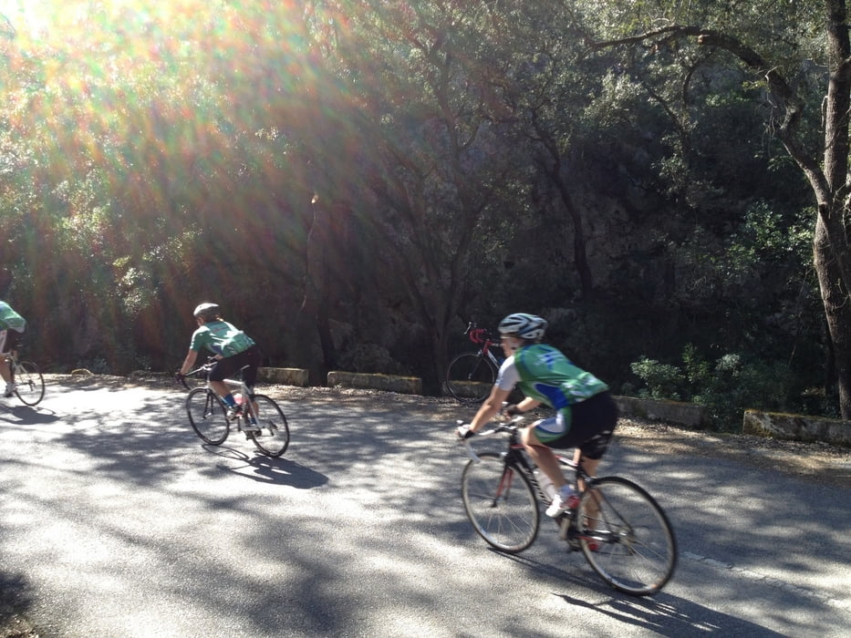
Tour gallery


Tour map and elevation profile
Minimum height 2 m
Maximum height 502 m
More about the tour author
|
|
berndhuber |
Comments

Nach Malle (am besten fliegen) Airport Palma > Can Pastilla
GPS tracks
Trackpoints-
GPX / Garmin Map Source (gpx) download
-
TCX / Garmin Training Center® (tcx) download
-
CRS / Garmin Training Center® (crs) download
-
Google Earth (kml) download
-
G7ToWin (g7t) download
-
TTQV (trk) download
-
Overlay (ovl) download
-
Fugawi (txt) download
-
Kompass (DAV) Track (tk) download
-
Track data sheet (pdf) download
-
Original file of the author (gpx) download
More about the tour author
|
|
berndhuber |
Add to my favorites
Remove from my favorites
Edit tags
Open track
My score
Rate