


Startpunkt ist die Bikestation von M-Bike (die Tour ist zu 50% mit der ersten Tour identisch aber es gibt viele neue Abschnitte die richtig genieal sind)
Über Finkawege geht es in Richtung Arta mit einem Abstecher auf die MTB Rennstrecke des letzten Duatlons und von dort in den Nationalpark.
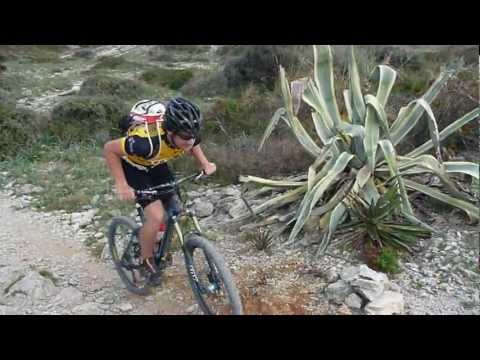
Dort geht es über Asphalt später Schotter (teilweise Trails) zum höchsten Punkt der Tour. Nach ner längeren Schotterabfahrt (grobes Gestein) und einen traumhaften Trail an einer Finka vorbei durch ein trockenes Bachbett geht es zum alten Turm auf der Landzung. (Achtung: bei mir waren 3 Tore verschlossen, so das man drüber steigen muss) Nach den Trail geht es über Waldweg und steinige Uphills zum Strand und dann über den Holzsteg über die Dünen. Danach geht es über steinige Trails und Waldstücke zurück nach Cala Radjada.
Further information at
http://www.mountaintrails.deTour gallery


Tour map and elevation profile
Minimum height -6 m
Maximum height 237 m
More about the tour author
|
|
Roadrunner75 |
Comments

Mit dem Auto immer Richtung Cala Ratjada
GPS tracks
Trackpoints-
GPX / Garmin Map Source (gpx) download
-
TCX / Garmin Training Center® (tcx) download
-
CRS / Garmin Training Center® (crs) download
-
Google Earth (kml) download
-
G7ToWin (g7t) download
-
TTQV (trk) download
-
Overlay (ovl) download
-
Fugawi (txt) download
-
Kompass (DAV) Track (tk) download
-
Track data sheet (pdf) download
-
Original file of the author (gpx) download
More about the tour author
|
|
Roadrunner75 |
Add to my favorites
Remove from my favorites
Edit tags
Open track
My score
Rate