Login

Forgotten password?

Cookies have to be accepted!
Your browser's cookie functionality is disabled. Please enable this functionality.

Not a member yet?

Register now
Login

Available for registred users only

Log in to use this feature.

Forgotten password?

Cookies have to be accepted!
Your browser's cookie functionality is disabled. Please enable this functionality.

Not a member yet?

Register now
Filter
Categories
Advanced filters
  • Distance (km)
  • Height
Save filters Reset filter

TrackRank

QRCode

Technical data

Distance27,8 km Height116 m Way down142 m Duration01:15 h:m Date01.04.2012
Scores Author Landscape Fun factor Fitness Technique

Statistics

94 Views Scores 18 Downloads Average
Rate
  • Track data sheet
  • Directions
  • Downloads

Hallo Velofreunde,

meine erste veröfentlichte Tour im Schwabenland.

Verwndbar als spaßige Feierabendrunde mit wenigen Anstiegen  (so gut wie keine)

Viel Spaß dabei.........
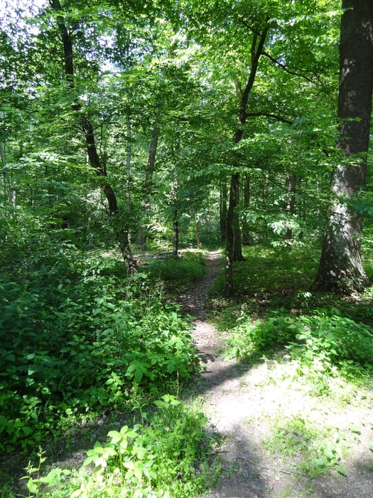
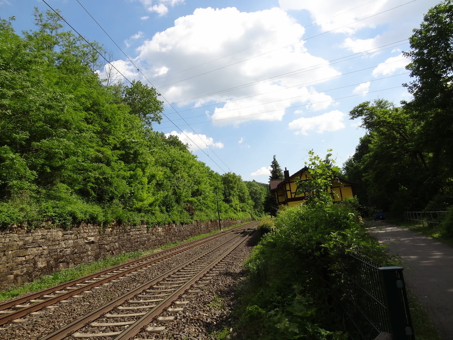
Tour gallery

Tour map and elevation profile

  • Open Street Map
  • Google
Minimum height 168 m Maximum height 239 m Detailed view

More about the tour author

Fritzzz
Member since 2010

Send private message

Comments

Einstig fast Überall möglich 

GPS tracks

Trackpoints
  • GPX / Garmin Map Source (gpx) download
  • TCX / Garmin Training Center® (tcx) download
  • CRS / Garmin Training Center® (crs) download
  • Google Earth (kml) download
  • G7ToWin (g7t) download
  • TTQV (trk) download
  • Overlay (ovl) download
  • Fugawi (txt) download
  • Kompass (DAV) Track (tk) download
  • Track data sheet (pdf) download
  • Original file of the author (gpx) download

More about the tour author

Fritzzz
Member since 2010

Send private message
Share track
Add to my favorites
Remove from my favorites
Edit tags
My score
Rate
Track: Enkar Race
Type: Mountain bike
Distance: 27,8 km
Evaluated on:
Duration:
Day(s)
Hour(s)
Minute(s)
Score: Landscape Fun factor Fitness Technique