Login

Forgotten password?

Cookies have to be accepted!
Your browser's cookie functionality is disabled. Please enable this functionality.

Not a member yet?

Register now
Login

Available for registred users only

Log in to use this feature.

Forgotten password?

Cookies have to be accepted!
Your browser's cookie functionality is disabled. Please enable this functionality.

Not a member yet?

Register now
Filter
Categories
Advanced filters
  • Distance (km)
  • Height
Save filters Reset filter

TrackRank

QRCode

Technical data

Distance20,4 km Height618 m Way down533 m Duration05:00 h:m Date09.04.2012
Scores Author Landscape Fun factor Fitness Technique

Statistics

1355 Views Scores 41 Downloads Average
Rate
  • Track data sheet
  • Directions
  • Downloads

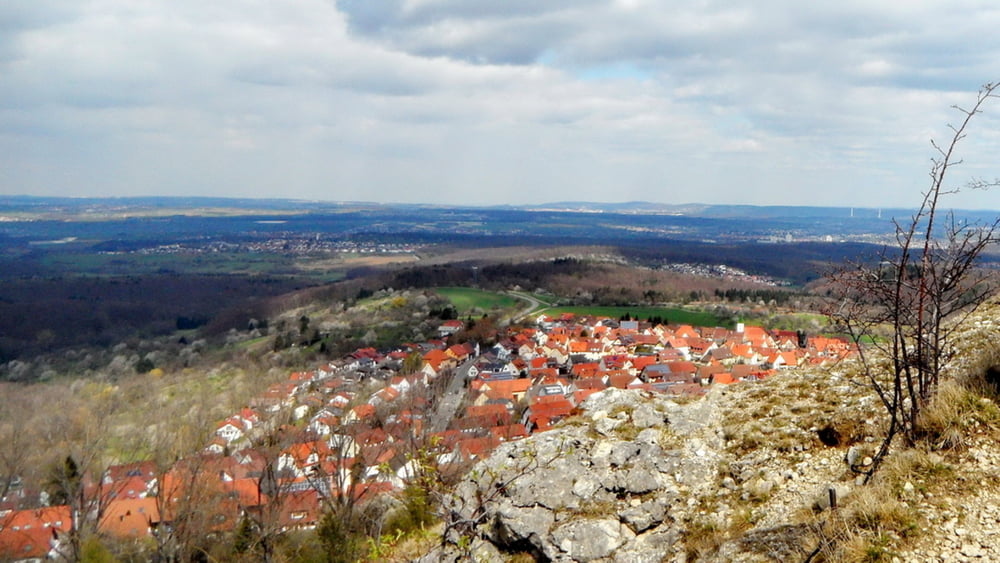
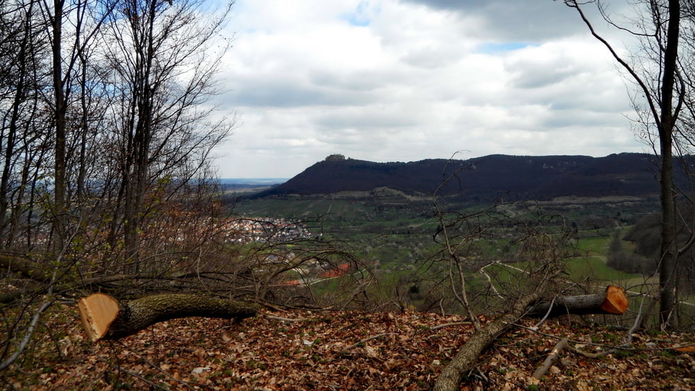
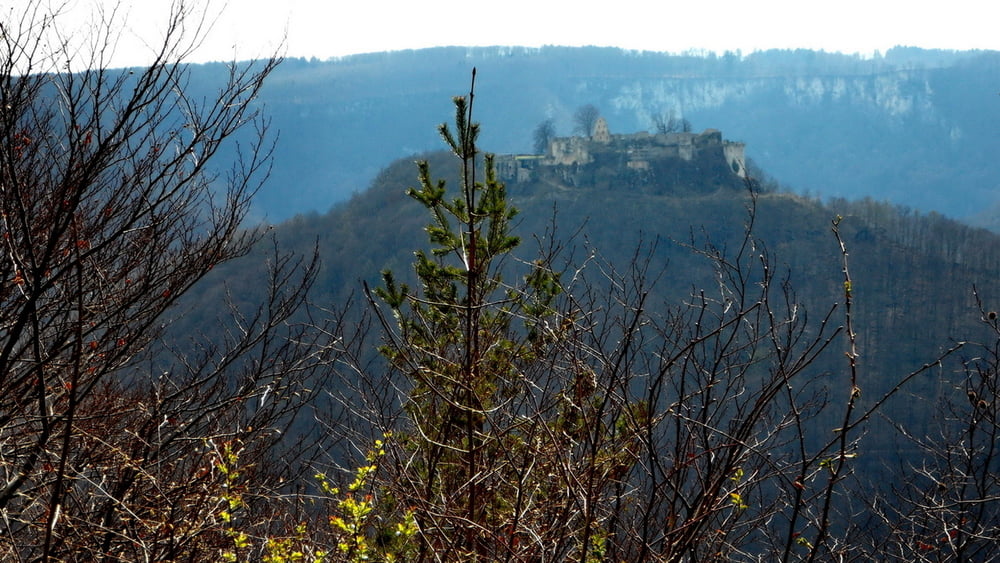
Dies ist eine Streckenwanderung . Los geht es in Metzingen,  über den Jusi, der fantastische Ausblicke gewährt, weiter zum Hörnle, Schillingskreuz, die Strecke verläuft lange Strecken immer am Albtrauf entlang,  bei den Höllenlöcher geht es dann schließlich  hinab nach Bad Urach.


Tour gallery

Tour map and elevation profile

  • Open Street Map
  • Google
Minimum height 384 m Maximum height 734 m Detailed view

More about the tour author

Hassor
Member since 2008

Send private message

Comments

GPS tracks

Trackpoints
  • GPX / Garmin Map Source (gpx) download
  • TCX / Garmin Training Center® (tcx) download
  • CRS / Garmin Training Center® (crs) download
  • Google Earth (kml) download
  • G7ToWin (g7t) download
  • TTQV (trk) download
  • Overlay (ovl) download
  • Fugawi (txt) download
  • Kompass (DAV) Track (tk) download
  • Track data sheet (pdf) download
  • Original file of the author (gpx) download

More about the tour author

Hassor
Member since 2008

Send private message
Share track
Add to my favorites
Remove from my favorites
Edit tags
My score
Rate
Track: Von Metzingen nach Bad Urach
Type: Hiking
Distance: 20,4 km
Evaluated on:
Duration:
Day(s)
Hour(s)
Minute(s)
Score: Landscape Fun factor Fitness Technique