Login

Forgotten password?

Cookies have to be accepted!
Your browser's cookie functionality is disabled. Please enable this functionality.

Not a member yet?

Register now
Login

Available for registred users only

Log in to use this feature.

Forgotten password?

Cookies have to be accepted!
Your browser's cookie functionality is disabled. Please enable this functionality.

Not a member yet?

Register now
Filter
Categories
Advanced filters
  • Distance (km)
  • Height
Save filters Reset filter

TrackRank

QRCode

Technical data

Distance23,3 km Height512 m Way down532 m Duration03:00 h:m Date15.04.2012
Scores Author Landscape Fun factor Fitness Technique

Statistics

560 Views Scores 150 Downloads Average
Rate
  • Track data sheet
  • Directions
  • Downloads
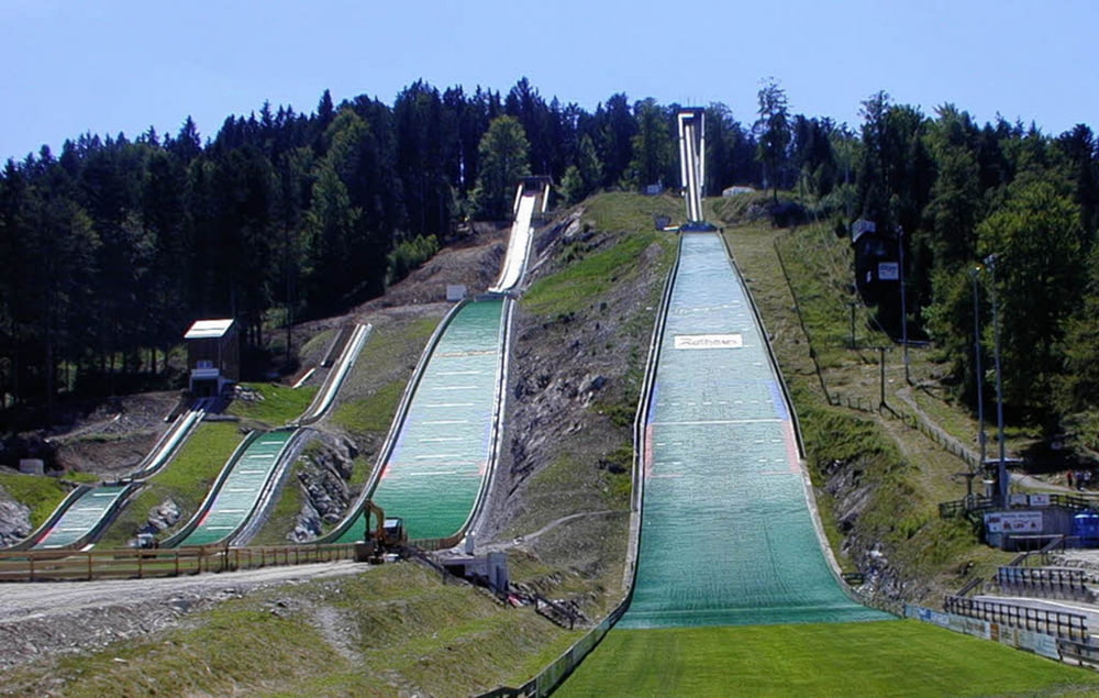
Start und Ende ist der Bahnhof Hinterzarten. Ein schöner Trail ist in dem Rundkurs mit inbegriffen, der nur bei Nässe und Schnee schwierig zu fahren ist. Der Rest der Tour besteht aus breiten Waldwegen.

Tour gallery

Tour map and elevation profile

  • Open Street Map
  • Google
Minimum height 880 m Maximum height 1246 m Detailed view

More about the tour author

Zwecke
Member since 2009

Send private message

Comments

Die Anfahrt ist mit dem Zug aus Freiburg (30 min Fahrzeit) oder mit dem Auto (Parken am Bahnhof) möglich

GPS tracks

Trackpoints
  • GPX / Garmin Map Source (gpx) download
  • TCX / Garmin Training Center® (tcx) download
  • CRS / Garmin Training Center® (crs) download
  • Google Earth (kml) download
  • G7ToWin (g7t) download
  • TTQV (trk) download
  • Overlay (ovl) download
  • Fugawi (txt) download
  • Kompass (DAV) Track (tk) download
  • Track data sheet (pdf) download
  • Original file of the author (gpx) download

More about the tour author

Zwecke
Member since 2009

Send private message
Share track
Add to my favorites
Remove from my favorites
Edit tags
My score
Rate
Track: Zur Lochrütte
Type: Mountain bike
Distance: 23,3 km
Evaluated on:
Duration:
Day(s)
Hour(s)
Minute(s)
Score: Landscape Fun factor Fitness Technique