Login

Forgotten password?

Cookies have to be accepted!
Your browser's cookie functionality is disabled. Please enable this functionality.

Not a member yet?

Register now
Login

Available for registred users only

Log in to use this feature.

Forgotten password?

Cookies have to be accepted!
Your browser's cookie functionality is disabled. Please enable this functionality.

Not a member yet?

Register now
Filter
Categories
Advanced filters
  • Distance (km)
  • Height
Save filters Reset filter

TrackRank

QRCode

Technical data

Distance377,7 km Height5479 m Way down5448 m Duration6 days 0 h Date15.04.2012
Scores Author Landscape Fun factor Fitness Technique

Statistics

2238 Views Scores 135 Downloads Average
Rate
  • Track data sheet
  • Directions
  • Downloads

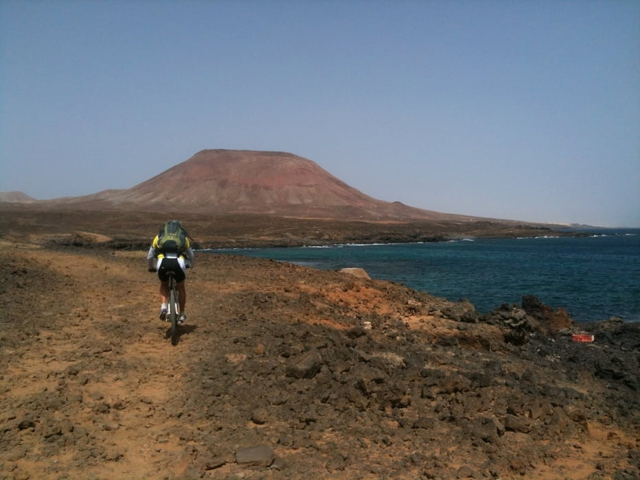
Si tratta del giro dell'intera isola quindi può essere intrapreso in qualunque punto toccato dalla traccia,lo si può suddividere in sei tappe naturalmente portandosi con sè il bagaglio nello zaino.

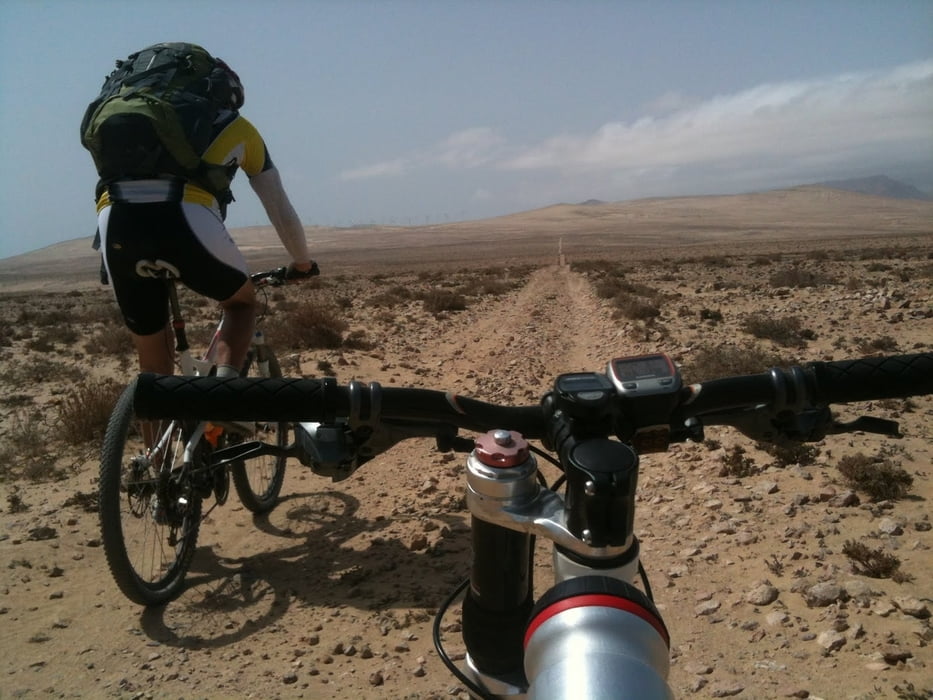
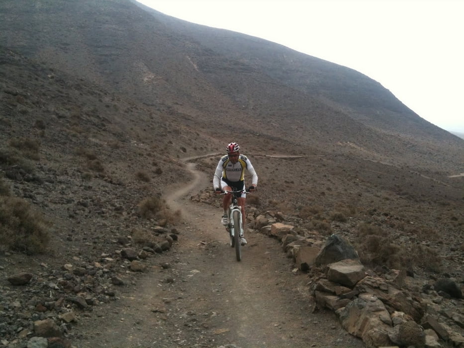
Non è da sottovalutare l'impegno tecnico dove spesso si possono trovare delle sezioni dove l'abilità di guida è importante.Ci saranno anche diversi tratti da percorrere spingendo la bicicletta a causa del fondo sconnesso o sabbioso ma seremo sempre ripagati da panorami stupendi.Non c'è difficoltà a reperire acqua,due borracce sono sufficenti,come pure viveri.

Un fattore da non sottovalutare è il vento che ci impegna nell'avanzamento e nella guida,specialmente nelle sezioni a sud e a nord-est

Tour gallery

Tour map and elevation profile

  • Open Street Map
  • Google
Minimum height 6 m Maximum height 422 m Detailed view

More about the tour author

respa
Member since 2012

Send private message

Comments

Punto di partenza privilegiato Caleta de Fuste o Ouerto del Rosario.

GPS tracks

Trackpoints
  • GPX / Garmin Map Source (gpx) download
  • TCX / Garmin Training Center® (tcx) download
  • CRS / Garmin Training Center® (crs) download
  • Google Earth (kml) download
  • G7ToWin (g7t) download
  • TTQV (trk) download
  • Overlay (ovl) download
  • Fugawi (txt) download
  • Kompass (DAV) Track (tk) download
  • Track data sheet (pdf) download
  • Original file of the author (gpx) download

More about the tour author

respa
Member since 2012

Send private message
Share track
Add to my favorites
Remove from my favorites
Edit tags
My score
Rate
Track: Tour di Fuerteventura
Type: Mountain bike
Distance: 377,7 km
Evaluated on:
Duration:
Day(s)
Hour(s)
Minute(s)
Score: Landscape Fun factor Fitness Technique