Login

Forgotten password?

Cookies have to be accepted!
Your browser's cookie functionality is disabled. Please enable this functionality.

Not a member yet?

Register now
Login

Available for registred users only

Log in to use this feature.

Forgotten password?

Cookies have to be accepted!
Your browser's cookie functionality is disabled. Please enable this functionality.

Not a member yet?

Register now
Filter
Categories
Advanced filters
  • Distance (km)
  • Height
Save filters Reset filter

TrackRank

QRCode

Technical data

Distance27,8 km Height612 m Way down598 m Duration02:30 h:m Date22.04.2012
Scores Author Landscape Fun factor Fitness Technique

Statistics

279 Views Scores 41 Downloads Average
Rate
  • Track data sheet
  • Directions
  • Downloads
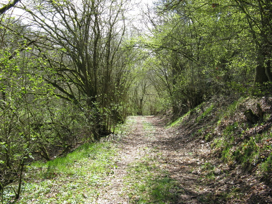
Die Tour beginnt am Bürgersaal in Weiperath, sie führt über Wiesen/Felder, das Drohntal und durch das Tal der Hölzbach hoch nach Haag. Aus dem Dhrontal später hoch am Römergrab vorbei hat man einen wunderschönen Blick über den Hunsrück und die Dörfer der Einheitsgemeinde Morbach.

Tour gallery

Tour map and elevation profile

  • Open Street Map
  • Google
Minimum height 259 m Maximum height 545 m Detailed view

More about the tour author

AnnaS
Member since 2012

Send private message

Comments

Von Hunsrückhöhenstraße aus gegenüber der Essotankstelle auf die K 99 nach Weiperath

GPS tracks

Trackpoints
  • GPX / Garmin Map Source (gpx) download
  • TCX / Garmin Training Center® (tcx) download
  • CRS / Garmin Training Center® (crs) download
  • Google Earth (kml) download
  • G7ToWin (g7t) download
  • TTQV (trk) download
  • Overlay (ovl) download
  • Fugawi (txt) download
  • Kompass (DAV) Track (tk) download
  • Track data sheet (pdf) download
  • Original file of the author (gpx) download

More about the tour author

AnnaS
Member since 2012

Send private message
Share track
Add to my favorites
Remove from my favorites
Edit tags
My score
Rate
Track: Hölzbachtour
Type: Mountain bike
Distance: 27,8 km
Evaluated on:
Duration:
Day(s)
Hour(s)
Minute(s)
Score: Landscape Fun factor Fitness Technique