Login

Forgotten password?

Cookies have to be accepted!
Your browser's cookie functionality is disabled. Please enable this functionality.

Not a member yet?

Register now
Login

Available for registred users only

Log in to use this feature.

Forgotten password?

Cookies have to be accepted!
Your browser's cookie functionality is disabled. Please enable this functionality.

Not a member yet?

Register now
Filter
Categories
Advanced filters
  • Distance (km)
  • Height
Save filters Reset filter

TrackRank

QRCode

Technical data

Distance106,8 km Height891 m Way down883 m Duration01:30 h:m Date28.04.2012
Scores Author User Landscape Fun factor Fitness Technique

Statistics

1059 Views 1 Score 79 Downloads 5.00 Average
Rate
  • Track data sheet
  • Directions
  • Downloads

Ein kleiner Rundkurs von 107km.

Start ist am Dultplatz in Sulzbach-Rosenberg. Gleich danach geht es an der Tankstelle vorbei und dann raus aus der Stadt Richtung Königstein auf neu geteerten Straßen mit vielen Kurven mitten durch einen Golfplatz. Macht richtig Laune. Zumal auch wenig Verkehr ist.

Von Königstein geht es weiter nach Neuhaus über Velden durchs Engenthal. Viele schöne weite und enge Kurven. Landschaftlich echt spitze. Viel Rastmöglichkeiten sind auch entlang der Srecke um einfach mal bissi auch die Natur zu genießen.

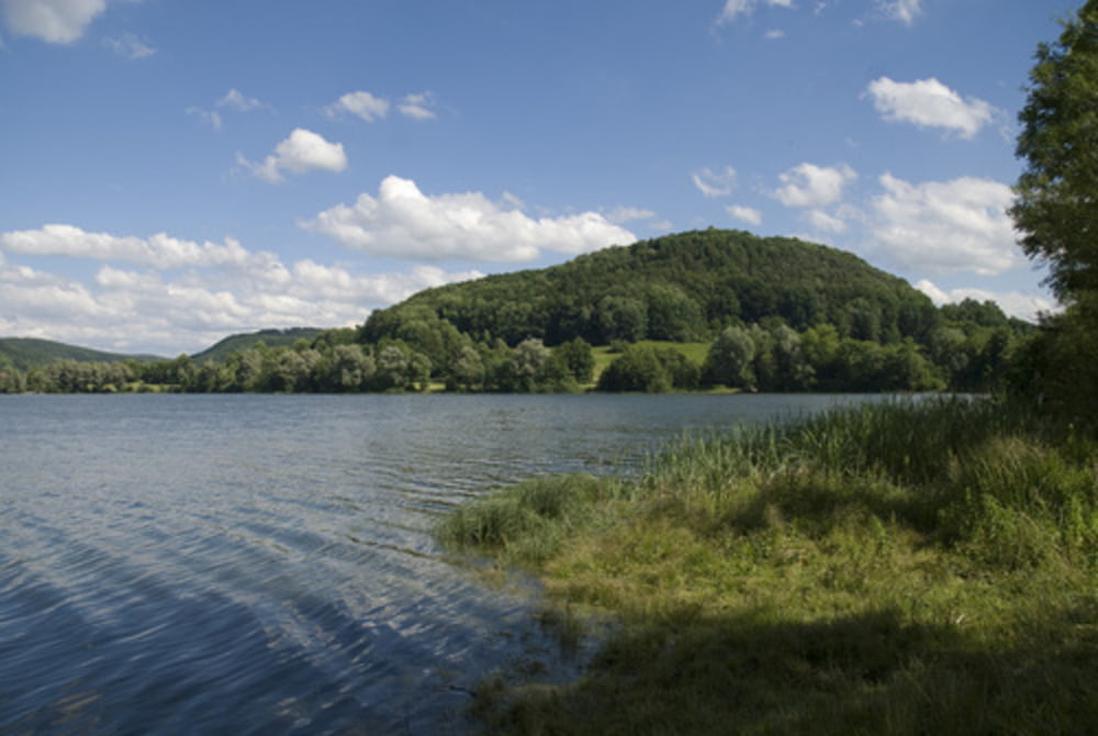
Übern Happurger Stausee gehts wieder nach Sulzbach zurück.

Ein schöner kleiner überschaubarer Rundkurs der auch richtig Spass macht.

Viel Spass wünsch ich euch.

Tour map and elevation profile

  • Open Street Map
  • Google
Minimum height 349 m Maximum height 566 m Detailed view

More about the tour author

_JiM_
Member since 2011

Send private message

Comments

GPS tracks

Trackpoints
  • GPX / Garmin Map Source (gpx) download
  • TCX / Garmin Training Center® (tcx) download
  • CRS / Garmin Training Center® (crs) download
  • Google Earth (kml) download
  • G7ToWin (g7t) download
  • TTQV (trk) download
  • Overlay (ovl) download
  • Fugawi (txt) download
  • Kompass (DAV) Track (tk) download
  • Track data sheet (pdf) download
  • Original file of the author (gpx) download

More about the tour author

_JiM_
Member since 2011

Send private message
Share track
Add to my favorites
Remove from my favorites
Edit tags
My score
Rate
Track: Rundkurs von Su-Ro übers Engenthal
Type: Motorcycles
Distance: 106,8 km
Evaluated on:
Duration:
Day(s)
Hour(s)
Minute(s)
Score: Landscape Fun factor Fitness Technique