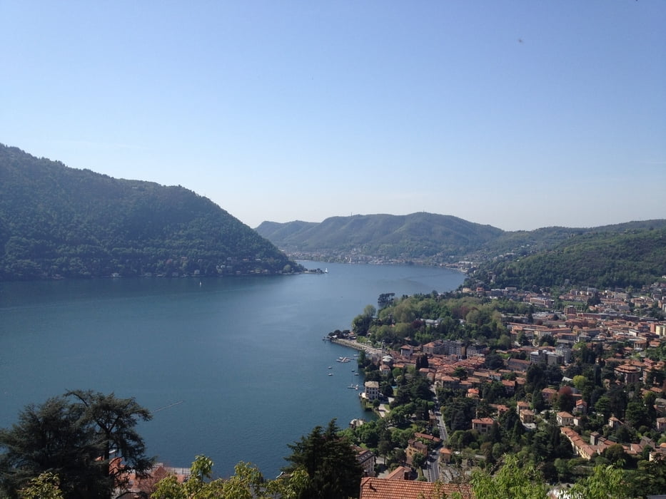
Partenza: Maslianico - Cernobbio (CO)
Cernobbio - Vetta Monte Bisbino (salita Km 17 pendenza media 6.,5 % - Pendenza max 11%. Dislivello: mt 1100 ca. Fondo asfaltato). Sentiero x Rifugio Bugone - Rif. Binate - Rifugio Prabello (Sasso Gordona) Alpe Bonello - Crabbio ( Dislivello mt 450 ca.Fondo: mulattiera, single track, strada sterrata).
Crabbio - Morbio Superiore - Vaccallo - Chiasso - Maslianico - Cernobbio (strada asfaltata)
Distanza totale: Km 53
Dislivello totale: Mt 1650 ca
Tour gallery
Tour map and elevation profile
Minimum height 194 m
Maximum height 1337 m
Comments

GPS tracks
Trackpoints-
GPX / Garmin Map Source (gpx) download
-
TCX / Garmin Training Center® (tcx) download
-
CRS / Garmin Training Center® (crs) download
-
Google Earth (kml) download
-
G7ToWin (g7t) download
-
TTQV (trk) download
-
Overlay (ovl) download
-
Fugawi (txt) download
-
Kompass (DAV) Track (tk) download
-
Track data sheet (pdf) download
-
Original file of the author (gpx) download
Add to my favorites
Remove from my favorites
Edit tags
Open track
My score
Rate


