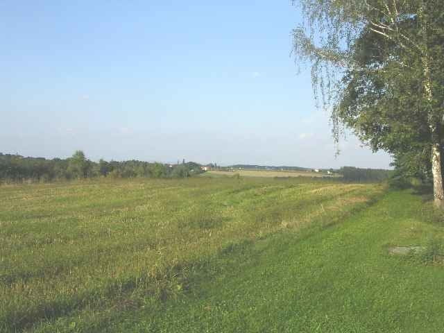
Beim Torismusbüro/Thermenparklatz geht’s los Richtung Stegersbach Ort. Die Strecke verläuft auf unterschiedlichem Terrain (Wald- Wiesen Schotter- sowie Asphaltwege wechseln sich ab) und weist einen coupierten Streckenverlauf auf. Der Wanderer/Läufer kommt oft in den Genuss das herrliche Panorama rund um die Thermenregion zu genießen. Dies ist eine richtige Strecke sich gegen eine Endorphinausschüttung (Glückshormonausschüttung)nicht zu wehren.
Further information at
http://www.stegersbach.atTour gallery
Tour map and elevation profile
Minimum height 266 m
Maximum height 351 m
Comments
Autobahnabfahrt A2 Lafnitztal/Oberwart von Wien kommend, sowie A2 Ilz/Fürstenfeld von Graz kommend.
GPS tracks
Trackpoints-
GPX / Garmin Map Source (gpx) download
-
TCX / Garmin Training Center® (tcx) download
-
CRS / Garmin Training Center® (crs) download
-
Google Earth (kml) download
-
G7ToWin (g7t) download
-
TTQV (trk) download
-
Overlay (ovl) download
-
Fugawi (txt) download
-
Kompass (DAV) Track (tk) download
-
Track data sheet (pdf) download
-
Original file of the author (g7t) download
Add to my favorites
Remove from my favorites
Edit tags
Open track
My score
Rate


"Let it flow"