


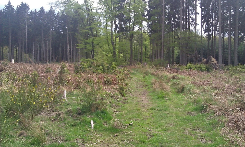
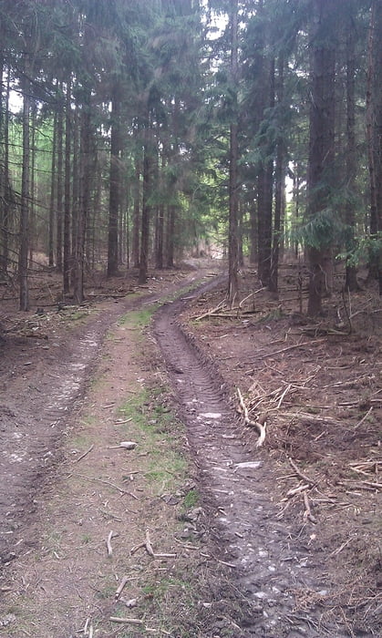
Hier eine kleine, knapp zweistündige Wanderung mit Etappen auf angelegten Waldwegen und einigen Abschnitten auf Trampelpfaden rund um das Franzosenkreuz im Bereich der Laufenburg bei Langerwehe.
Tour gallery


Tour map and elevation profile
Minimum height 179 m
Maximum height 330 m
More about the tour author
|
|
El_Don |
Comments

Ist man einmal in Langerwehe fährt man Richtung Schönthal/Wenau. Kurz vor der Abzweigung nach Wenau erscheint auf der linken Seite das Zufahrtsschild zum Restaurant Laufenburg. Dort befindet sich ein großer Parkplatz, von welchem die Route startet.
GPS tracks
Trackpoints-
GPX / Garmin Map Source (gpx) download
-
TCX / Garmin Training Center® (tcx) download
-
CRS / Garmin Training Center® (crs) download
-
Google Earth (kml) download
-
G7ToWin (g7t) download
-
TTQV (trk) download
-
Overlay (ovl) download
-
Fugawi (txt) download
-
Kompass (DAV) Track (tk) download
-
Track data sheet (pdf) download
-
Original file of the author (gpx) download
More about the tour author
|
|
El_Don |
Add to my favorites
Remove from my favorites
Edit tags
Open track
My score
Rate