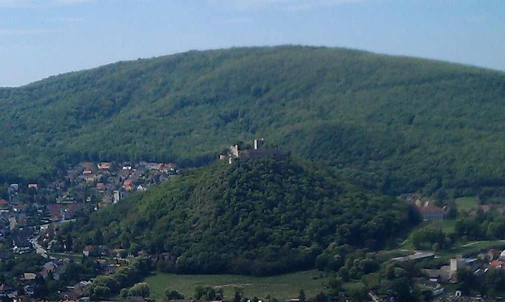
Von Bruck an der Leitha beginnend über Pachfurth, Gerhaus, Rohrau und Petronell Richtung Bad Deutsch Altenburg und Hainburg. Nach einem kurzen aber sehr steilen Anstieg am Braunsberg in Haiburg angekommen genießt man einen herrlichen Ausblick über das Marchfeld, die Donau und Carnuntum.
Tour gallery
Tour map and elevation profile
Minimum height 121 m
Maximum height 313 m
Comments

GPS tracks
Trackpoints-
GPX / Garmin Map Source (gpx) download
-
TCX / Garmin Training Center® (tcx) download
-
CRS / Garmin Training Center® (crs) download
-
Google Earth (kml) download
-
G7ToWin (g7t) download
-
TTQV (trk) download
-
Overlay (ovl) download
-
Fugawi (txt) download
-
Kompass (DAV) Track (tk) download
-
Track data sheet (pdf) download
-
Original file of the author (gpx) download
Add to my favorites
Remove from my favorites
Edit tags
Open track
My score
Rate


