


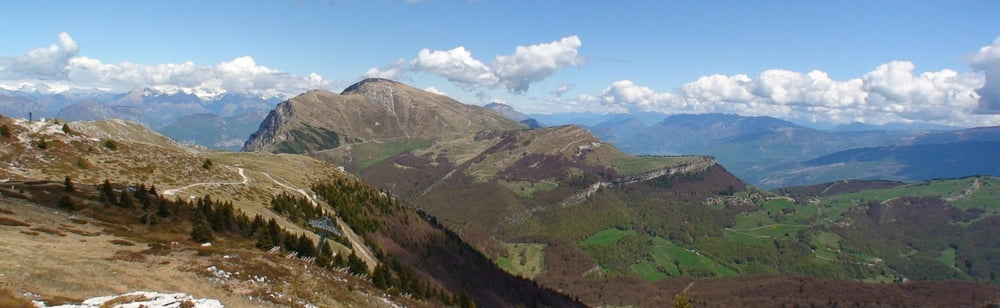
Von der Bergstation nach Süden abwärts, vor Anstieg halbrechts aufwärts auf markiertem Felssteig. Auf der Höhe bis hinter Skilift, an Gabelung links auf Weg abwärts (Abzweig nach rechts zu Gipfelkreuz) und zurück auf breitem Weg zur Bergstation.
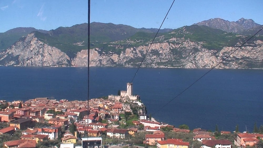
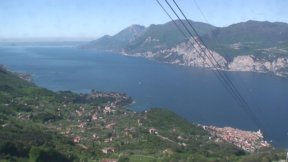
Nun nach Norden bergan, links haltend unterhalb des Hauptweges auf Pfad zum nördlichen Punkt.. Dann nach rechts an Gatter etwas aufwärts: herrlicher Blick über den gesamten Gardasee. Nach rechts auf breitem Weg zur Bergstation.
Tour gallery

Tour map and elevation profile
Minimum height 1711 m
Maximum height 1828 m
More about the tour author
|
|
heinz-57 |
Comments

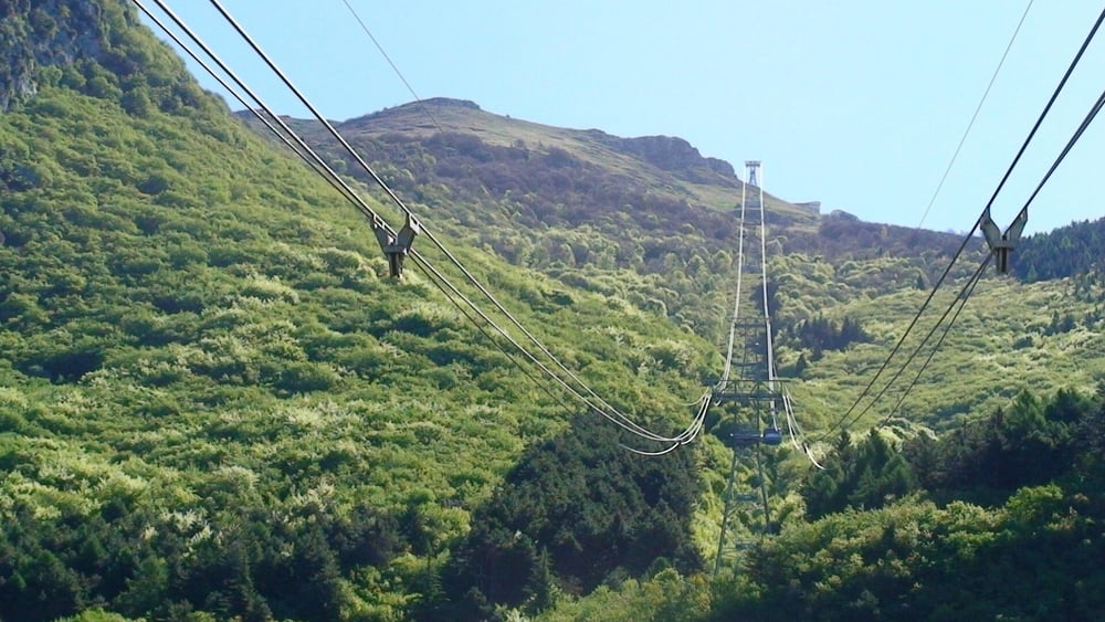
In Malcesine dem Wegweiser "Seilbahn Monte Baldo" folgend ins Parkhaus.
GPS tracks
Trackpoints-
GPX / Garmin Map Source (gpx) download
-
TCX / Garmin Training Center® (tcx) download
-
CRS / Garmin Training Center® (crs) download
-
Google Earth (kml) download
-
G7ToWin (g7t) download
-
TTQV (trk) download
-
Overlay (ovl) download
-
Fugawi (txt) download
-
Kompass (DAV) Track (tk) download
-
Track data sheet (pdf) download
-
Original file of the author (gpx) download
More about the tour author
|
|
heinz-57 |
Add to my favorites
Remove from my favorites
Edit tags
Open track
My score
Rate