
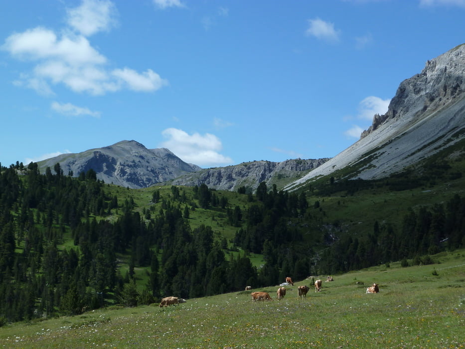

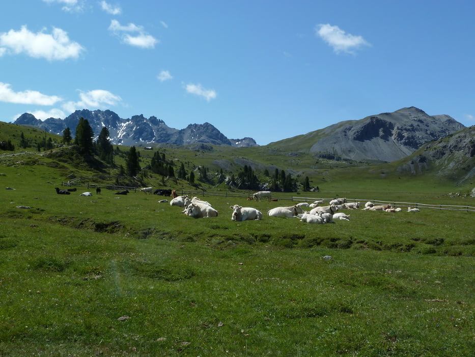
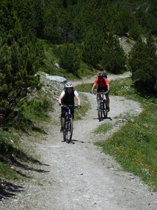
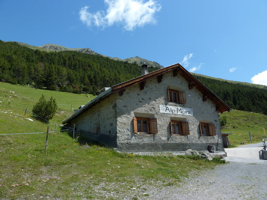
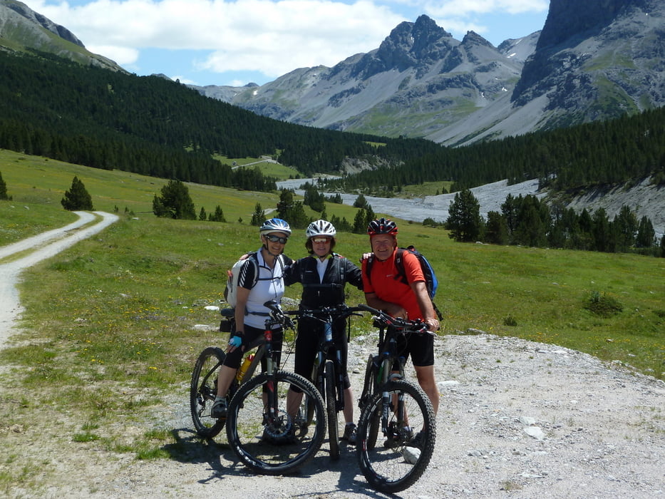
Startpunkt ist bei der Postautostation Buffalora kurz vor der Passhöhe des Ofenpasses auf 1968m. Bis zur Alp Buffalora kann man auch ohne grosse Kondition locker fahren. Danach beginnt eine kurze steile Rampe von ca. 500m mit 20% Steigung, die eigentlich fahrbar wäre, doch mangelte es an unserer Kondition. Nach dieser kurzen Schiebestrecke war für uns Amateure fast alles fahrbar. Auf der Alp Mora kann man sich sehr gut verpflegen. Das Val Mora ist wunderschönes breites und praktisch unbesiedeltes Tal. Aus diesem Grund hielten sich die Bären in den letzten Jahren ein paar Mal hier auf. Ab dem Punkt Döss Radond auf 2234m kann man fast nur noch runterfahren bis nach Valchava. Von dort aus kann man das Bike mit dem Postauto in Richtung Zernez verladen (Anmeldung erforderlich, da es nur fünf Bikehaken hat)
Túra fotóalbuma
Túratérkép és magasságprofil
Minimum height 1442 m
Maximum height 2341 m
More about the tour author

|
ThomasGuenthert |
Megjegyzések

ÖV ab Zernez bis Buffalore oder mit Auto.
GPS trackek
Trackpoints-
GPX / Garmin Map Source (gpx) download
-
TCX / Garmin Training Center® (tcx) download
-
CRS / Garmin Training Center® (crs) download
-
Google Earth (kml) download
-
G7ToWin (g7t) download
-
TTQV (trk) download
-
Overlay (ovl) download
-
Fugawi (txt) download
-
Kompass (DAV) Track (tk) download
-
Túralap (pdf) download
-
Original file of the author (gpx) download
More about the tour author
|
|
ThomasGuenthert |
Add to my favorites
Remove from my favorites
Edit tags
Open track
My score
Rate