Login

Elfelejtetted a jelszód?

Cookies have to be accepted!
Your browser's cookie functionality is disabled. Please enable this functionality.

Not a member yet?

Register now
Login

Available for registred users only

Log in to use this feature.

Elfelejtetted a jelszód?

Cookies have to be accepted!
Your browser's cookie functionality is disabled. Please enable this functionality.

Not a member yet?

Register now
Filter
Kategóriák
Advanced filters
  • Hosszúság (km)
  • Szintkülönbség
Szűrő elmentése Reset filter

TrackRank

QRCode

Technical data

Hosszúság12,2 km Szintkülönbség172 m Way down1088 m Tartam01:10 h:m Dátum09.10.2012
Értékelések Author Vidék Szórakozás Kondíció Technika

Statisztika

992 Views Értékelések 64 Letöltések átlag
Rate
  • Túralap
  • Megközelítés
  • Letöltések

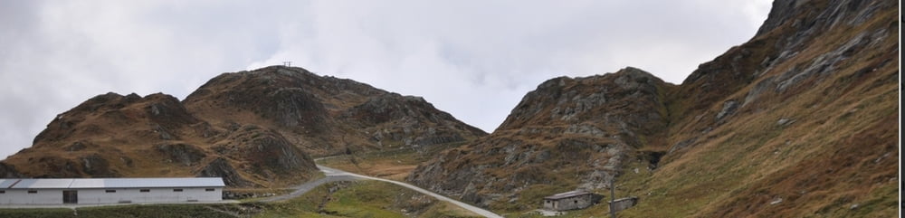
Abfahrt vom Sankt Gotthard - Pass über den Passo Scimfuss und den Wanderweg nach Airolo


Hoch kann man über die alte St. Gotthard - Straße fahren, dann geht es eine Teerstraße nach osten, über den Passo Scimfuss und dann den Wanderweg hinab nach Airolo.

Further information at

http://randypanguitch.wordpress.com/randy-panguitch-startseite/mtb-touren/tagestouren/tagestouren_schweiz/tt_ch_sankt_gotthard/

Túratérkép és magasságprofil

  • Open Street Map
  • Google
Minimum height 1174 m Maximum height 2242 m Részletes nézet

More about the tour author

RandB
Member since 2006

Send private message

Megjegyzések

GPS trackek

Trackpoints
  • GPX / Garmin Map Source (gpx) download
  • TCX / Garmin Training Center® (tcx) download
  • CRS / Garmin Training Center® (crs) download
  • Google Earth (kml) download
  • G7ToWin (g7t) download
  • TTQV (trk) download
  • Overlay (ovl) download
  • Fugawi (txt) download
  • Kompass (DAV) Track (tk) download
  • Túralap (pdf) download
  • Original file of the author (gpx) download

More about the tour author

RandB
Member since 2006

Send private message
Share track
Add to my favorites
Remove from my favorites
Edit tags
My score
Rate
Túra: Sankt Gotthard - Airolo
jelleg: Hegyi kerékpár
Hosszúság: 12,2 km
Evaluated on:
Tartam:
Day(s)
Hour(s)
Minute(s)
Értékelés: Vidék Szórakozás Kondíció Technika