


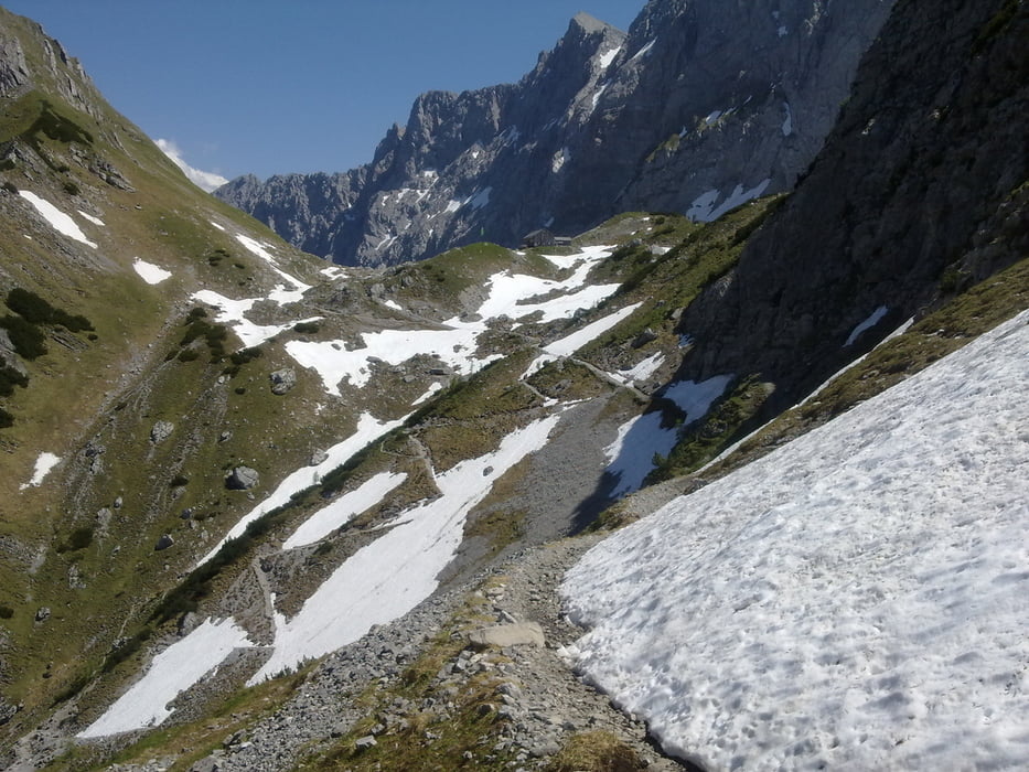
Altbekannte Tour diesmal andersrum. Wir fahren den Karrenweg zum Plumsjoch diesmal hinauf, mit etwas Kondition leicht zu schaffen. Kurze Einkehr auf der Plumsjochhütte, leichte Schotterabfahrt in den Ahornboden und auf Asphalt mit Gegenwind in die Eng. Danach nicht ganz so steile Auffahrt über die Binsalm und die beiden Lamsenjöcher zur Lamsenjochhütte. Ziemliche schottrige Abfahrt bis runter nach Stans. Über Asphalt nach Jenbach und den Kasbach zurück nach Pertisau.
Natürlich ist die entgegengesetzte Richtung einfacher, da die Auffahrten auf Schotterautobahnen entspannter und die Abfahrten steiler, aber so kann jeder.
Túra fotóalbuma


Túratérkép és magasságprofil
Minimum height 569 m
Maximum height 1950 m
More about the tour author
|
|
solarphoenix |
Megjegyzések

Pertisau am Achensee, Wanderparkplatz Karwendeltäler
GPS trackek
Trackpoints-
GPX / Garmin Map Source (gpx) download
-
TCX / Garmin Training Center® (tcx) download
-
CRS / Garmin Training Center® (crs) download
-
Google Earth (kml) download
-
G7ToWin (g7t) download
-
TTQV (trk) download
-
Overlay (ovl) download
-
Fugawi (txt) download
-
Kompass (DAV) Track (tk) download
-
Túralap (pdf) download
-
Original file of the author (gpx) download
More about the tour author
|
|
solarphoenix |
Add to my favorites
Remove from my favorites
Edit tags
Open track
My score
Rate