Login

Elfelejtetted a jelszód?

Cookies have to be accepted!
Your browser's cookie functionality is disabled. Please enable this functionality.

Not a member yet?

Register now
Login

Available for registred users only

Log in to use this feature.

Elfelejtetted a jelszód?

Cookies have to be accepted!
Your browser's cookie functionality is disabled. Please enable this functionality.

Not a member yet?

Register now
Filter
Kategóriák
Advanced filters
  • Hosszúság (km)
  • Szintkülönbség
Szűrő elmentése Reset filter

TrackRank

QRCode

Technical data

Hosszúság16,2 km Szintkülönbség428 m Way down419 m Tartam02:45 h:m Dátum10.01.2013
Értékelések Author Vidék Szórakozás Kondíció Technika

Statisztika

97 Views Értékelések 3 Letöltések átlag
Rate
  • Túralap
  • Megközelítés
  • Letöltések

10.1.2013

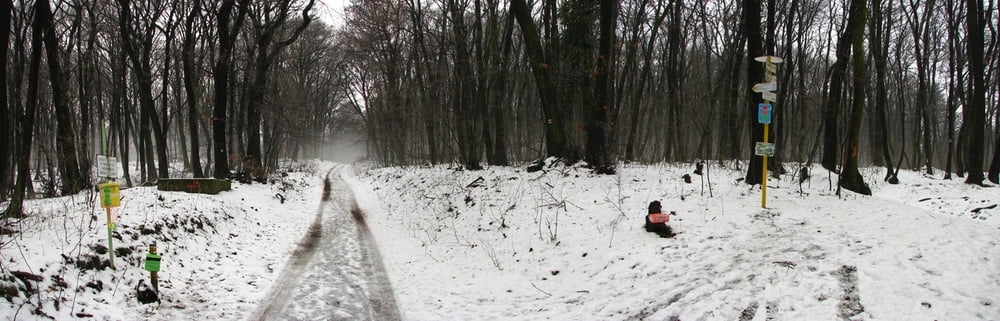
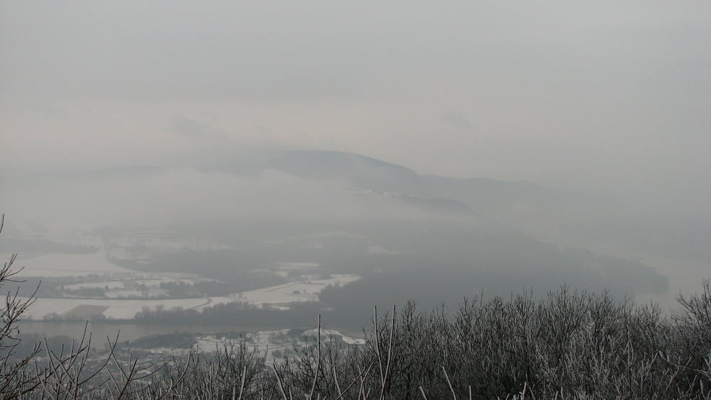
Vyvetrať sa na vrchol Kobyly a späť. Bol odmäk, viditeľnosť biedna. Na bike to veľmi nie je, taký na nič terén.
 

Túra fotóalbuma

Túratérkép és magasságprofil

  • Open Street Map
  • Google
Minimum height 201 m Maximum height 511 m Részletes nézet

More about the tour author

tmax
Member since 2007

Send private message

Megjegyzések

BA-Dlhé Diely

GPS trackek

Trackpoints
  • GPX / Garmin Map Source (gpx) download
  • TCX / Garmin Training Center® (tcx) download
  • CRS / Garmin Training Center® (crs) download
  • Google Earth (kml) download
  • G7ToWin (g7t) download
  • TTQV (trk) download
  • Overlay (ovl) download
  • Fugawi (txt) download
  • Kompass (DAV) Track (tk) download
  • Túralap (pdf) download
  • Original file of the author (gpx) download

More about the tour author

tmax
Member since 2007

Send private message
Share track
Add to my favorites
Remove from my favorites
Edit tags
My score
Rate
Túra: 20130110_1_Devínska Kobyla
jelleg: Hegyi kerékpár
Hosszúság: 16,2 km
Evaluated on:
Tartam:
Day(s)
Hour(s)
Minute(s)
Értékelés: Vidék Szórakozás Kondíció Technika