Login

Elfelejtetted a jelszód?

Cookies have to be accepted!
Your browser's cookie functionality is disabled. Please enable this functionality.

Not a member yet?

Register now
Login

Available for registred users only

Log in to use this feature.

Elfelejtetted a jelszód?

Cookies have to be accepted!
Your browser's cookie functionality is disabled. Please enable this functionality.

Not a member yet?

Register now
Filter
Kategóriák
Advanced filters
  • Hosszúság (km)
  • Szintkülönbség
Szűrő elmentése Reset filter

TrackRank

QRCode

Technical data

Hosszúság11,4 km Szintkülönbség15 m Way down15 m Tartam02:20 h:m Dátum07.04.2013
Értékelések Author User Vidék Szórakozás Kondíció Technika

Statisztika

1078 Views 1 Értékelés 59 Letöltések 5.00 átlag
Rate
  • Túralap
  • Megközelítés
  • Letöltések

Steverwanderung

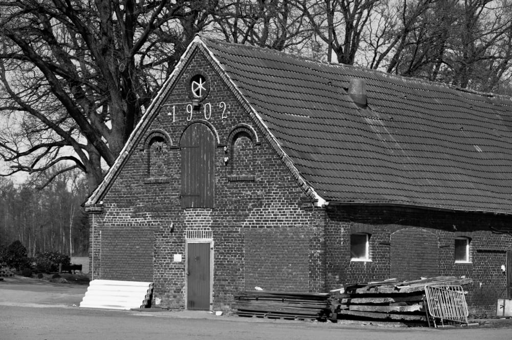
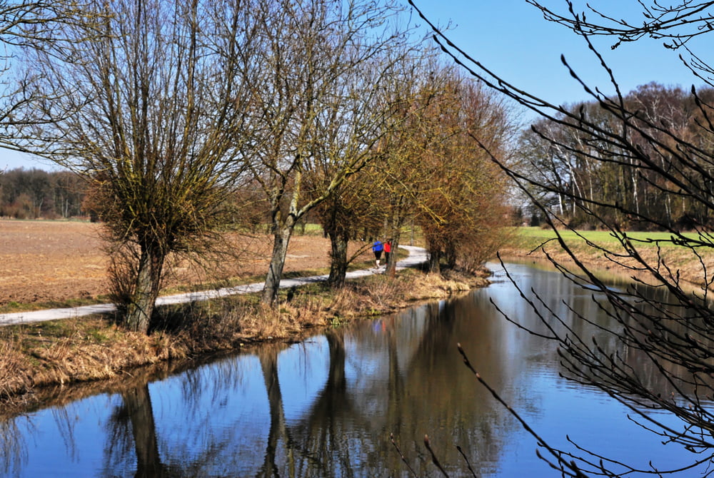
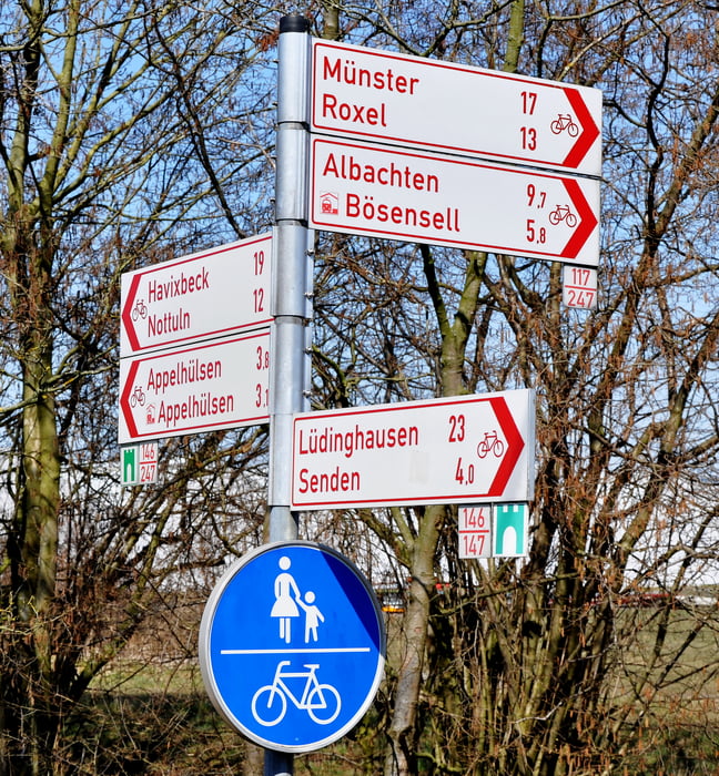
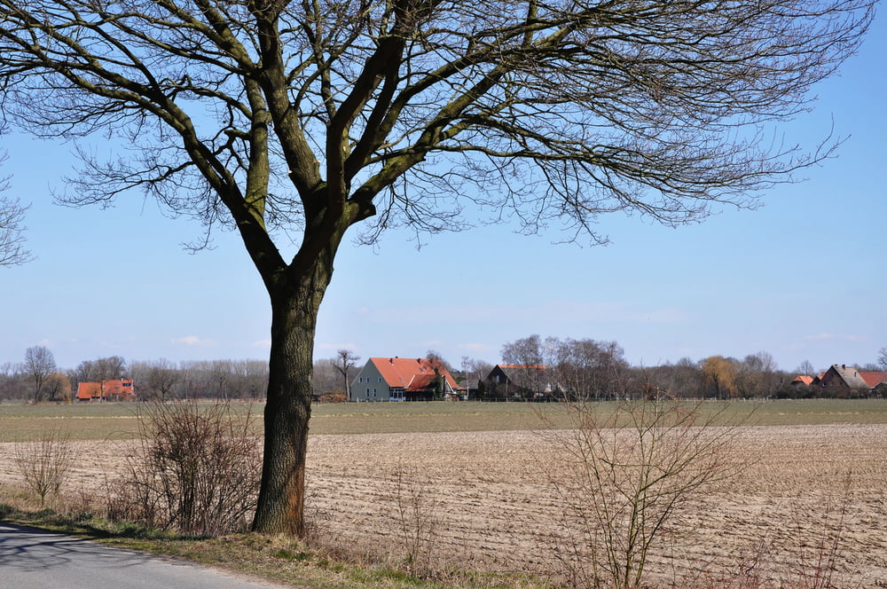
Von Gosselmanns Hof durch die Felder bis zum Ortsrand von Senden. Von dort an der Stever entlang Richtung Appelhülsen und zurück zum Ausgangpunkt. Leichte ebene Strecke vorbei an mehreren Münsterländer Bauernhöfen.


Túra fotóalbuma

Túratérkép és magasságprofil

  • Open Street Map
  • Google
Minimum height 54 m Maximum height 66 m Részletes nézet

More about the tour author

plattapuss
Member since 2011

Send private message

Megjegyzések

GPS trackek

Trackpoints
  • GPX / Garmin Map Source (gpx) download
  • TCX / Garmin Training Center® (tcx) download
  • CRS / Garmin Training Center® (crs) download
  • Google Earth (kml) download
  • G7ToWin (g7t) download
  • TTQV (trk) download
  • Overlay (ovl) download
  • Fugawi (txt) download
  • Kompass (DAV) Track (tk) download
  • Túralap (pdf) download
  • Original file of the author (gpx) download

More about the tour author

plattapuss
Member since 2011

Send private message
Share track
Add to my favorites
Remove from my favorites
Edit tags
My score
Rate
Túra: Stever, Bösensell - Senden
jelleg: Gyalogtúrázás
Hosszúság: 11,4 km
Evaluated on:
Tartam:
Day(s)
Hour(s)
Minute(s)
Értékelés: Vidék Szórakozás Kondíció Technika