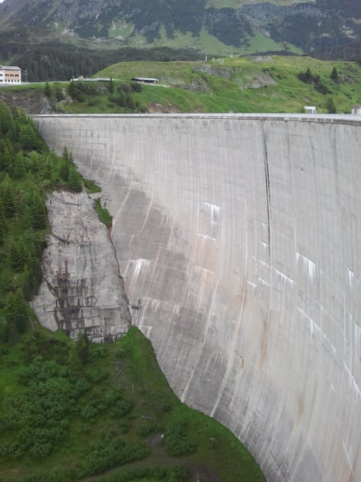
From Galtür first on asphalt and gravel into direction of Alpkogel. From there steep down below a ski lift to the Kops reservoir. Along the shore to the dam, and from there towards the Verbella Alpe and Heilbronner Hütte on gravel paths. Last 200 m to the hut are steep. From the hut down to Galtür on the same gravel paths and on asphalt roads.
Túra fotóalbuma
Túratérkép és magasságprofil
Minimum height 1576 m
Maximum height 2309 m
Megjegyzések

GPS trackek
Trackpoints-
GPX / Garmin Map Source (gpx) download
-
TCX / Garmin Training Center® (tcx) download
-
CRS / Garmin Training Center® (crs) download
-
Google Earth (kml) download
-
G7ToWin (g7t) download
-
TTQV (trk) download
-
Overlay (ovl) download
-
Fugawi (txt) download
-
Kompass (DAV) Track (tk) download
-
Túralap (pdf) download
-
Original file of the author (gpx) download
Add to my favorites
Remove from my favorites
Edit tags
Open track
My score
Rate


