Login

Elfelejtetted a jelszód?

Cookies have to be accepted!
Your browser's cookie functionality is disabled. Please enable this functionality.

Not a member yet?

Register now
Login

Available for registred users only

Log in to use this feature.

Elfelejtetted a jelszód?

Cookies have to be accepted!
Your browser's cookie functionality is disabled. Please enable this functionality.

Not a member yet?

Register now
Filter
Kategóriák
Advanced filters
  • Hosszúság (km)
  • Szintkülönbség
Szűrő elmentése Reset filter

TrackRank

QRCode

Technical data

Hosszúság8,5 km Szintkülönbség541 m Way down499 m Tartam02:00 h:m Dátum04.05.2014
Értékelések Author Vidék Szórakozás Kondíció Technika

Statisztika

486 Views Értékelések 27 Letöltések átlag
Rate
  • Túralap
  • Megközelítés
  • Letöltések
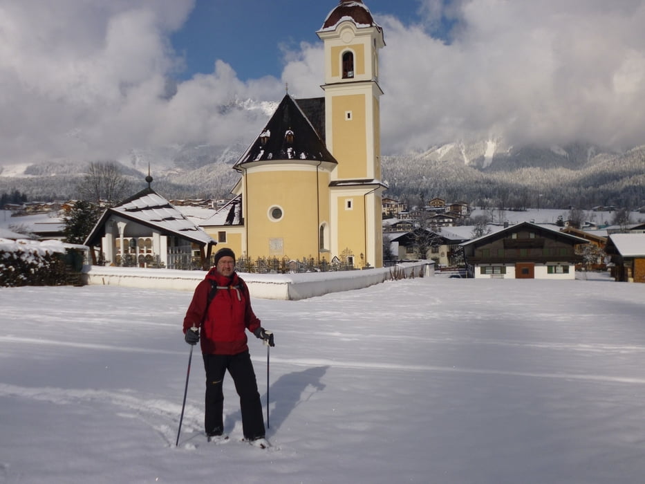
Schneeschuhwandern am Astberg. Vom Parkplatz am Goinger Astberglift gehen wir in östliche Richtung los. Rast gibt es am Hollenauer Kreuz. Über die Blattlalm gehts auf den Gipfel zum Sonnseitenlift. Abwärts ging es mit dem Astberglift.

Túratérkép és magasságprofil

  • Open Street Map
  • Google
Minimum height 758 m Maximum height 1293 m Részletes nézet

More about the tour author

bernd_brinck
Member since 2011

Send private message

Megjegyzések

GPS trackek

Trackpoints
  • GPX / Garmin Map Source (gpx) download
  • TCX / Garmin Training Center® (tcx) download
  • CRS / Garmin Training Center® (crs) download
  • Google Earth (kml) download
  • G7ToWin (g7t) download
  • TTQV (trk) download
  • Overlay (ovl) download
  • Fugawi (txt) download
  • Kompass (DAV) Track (tk) download
  • Túralap (pdf) download
  • Original file of the author (gpx) download

More about the tour author

bernd_brinck
Member since 2011

Send private message
Share track
Add to my favorites
Remove from my favorites
Edit tags
My score
Rate
Túra: Schneeschuhwandern am Astberg
jelleg: Hótalp
Hosszúság: 8,5 km
Evaluated on:
Tartam:
Day(s)
Hour(s)
Minute(s)
Értékelés: Vidék Szórakozás Kondíció Technika