


Der Start ist in Flachau am Hotel Tauernhof und führt zunächst zum Badesee nach Reitdorf. An der Kreuzung Aignstadl nach links auf den Aigenbergweg abbiegen (MTB-Route 23).
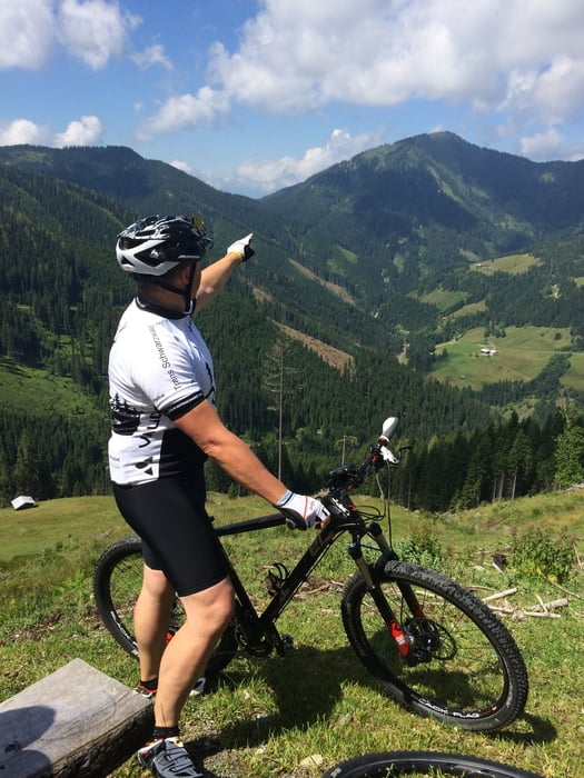
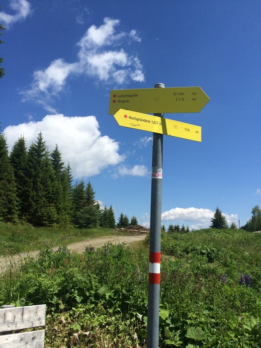
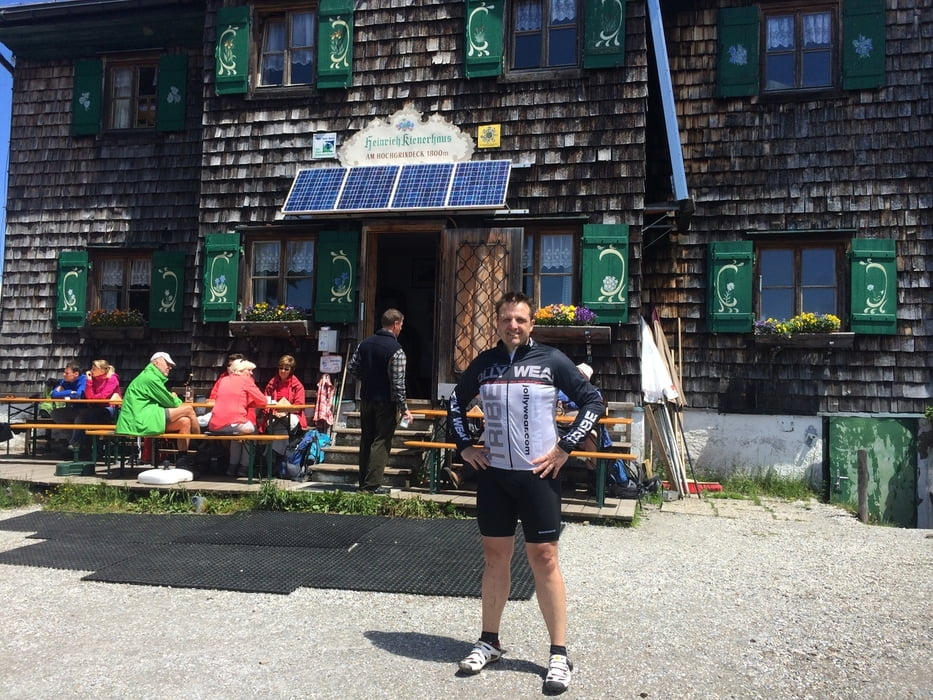
Zunächst stetige Steigung auf Asphalt welche dann weiter auf einem Schotterweg wechselt. Bei KM 20 wechselt man auf die MTB Route 22 zum Hochgründeck.
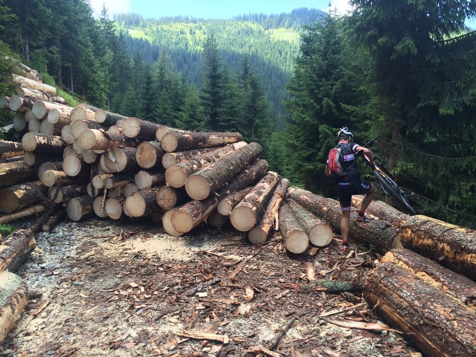
Zurück nicht den MTB Schotterweg, sondern den Wanderweg bergab. Achtung! Dieser ist sehr steil und besteht im unteren Teil aus losem Geröll (bis zu handballgroße Steine). Fahrtechnik ist hier unbedingt erforderlich!
Im Tal wieder angekommen in Richtung Wagrain und wieder zurück nach Flachau.
Further information at
http://www.flachau.comTúra fotóalbuma
Túratérkép és magasságprofil
Minimum height 875 m
Maximum height 1799 m
More about the tour author
|
|
ossinator |
Megjegyzések

Nach Flachau kommt man über die Tauernautobahn A99.
GPS trackek
Trackpoints-
GPX / Garmin Map Source (gpx) download
-
TCX / Garmin Training Center® (tcx) download
-
CRS / Garmin Training Center® (crs) download
-
Google Earth (kml) download
-
G7ToWin (g7t) download
-
TTQV (trk) download
-
Overlay (ovl) download
-
Fugawi (txt) download
-
Kompass (DAV) Track (tk) download
-
Túralap (pdf) download
-
Original file of the author (gpx) download
More about the tour author
|
|
ossinator |
Add to my favorites
Remove from my favorites
Edit tags
Open track
My score
Rate