Login

Elfelejtetted a jelszód?

Cookies have to be accepted!
Your browser's cookie functionality is disabled. Please enable this functionality.

Not a member yet?

Register now
Login

Available for registred users only

Log in to use this feature.

Elfelejtetted a jelszód?

Cookies have to be accepted!
Your browser's cookie functionality is disabled. Please enable this functionality.

Not a member yet?

Register now
Filter
Kategóriák
Advanced filters
  • Hosszúság (km)
  • Szintkülönbség
Szűrő elmentése Reset filter

TrackRank

QRCode

Technical data

Hosszúság114,9 km Szintkülönbség853 m Way down848 m Tartam04:30 h:m Dátum05.05.2005
Értékelések Author Vidék Szórakozás Kondíció Technika

Statisztika

1115 Views Értékelések 400 Letöltések átlag
Rate
  • Túralap
  • Megközelítés
  • Letöltések
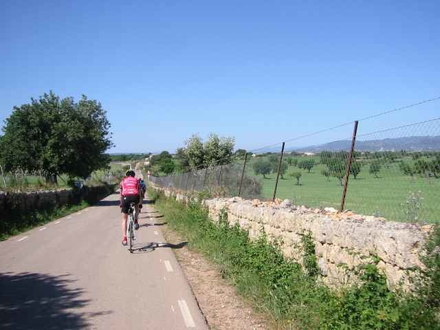
Am Rande der nördlichen Gebirgskette fährt man durch die Ebene bis Nähe Inca, dreht dann eine Schleife durch die Berge bis zu dem kleinen Dorf Orient. Hier läd ein Cafe zur Pause ein. Danach kommt nochmal ein kurzer Anstieg und zurück gehts über Bunyola, Santa Maria, dann auf fast gleicher Strecke (mit kleiner Schleife) bis zum Hotel.

Further information at

http://www.huerzeler.com

Túratérkép és magasságprofil

  • Open Street Map
  • Google
Minimum height -5 m Maximum height 535 m Részletes nézet

More about the tour author

larstragl

Megjegyzések

GPS trackek

Trackpoints
  • GPX / Garmin Map Source (gpx) download
  • TCX / Garmin Training Center® (tcx) download
  • CRS / Garmin Training Center® (crs) download
  • Google Earth (kml) download
  • G7ToWin (g7t) download
  • TTQV (trk) download
  • Overlay (ovl) download
  • Fugawi (txt) download
  • Kompass (DAV) Track (tk) download
  • Túralap (pdf) download
  • Original file of the author (g7t) download

More about the tour author

larstragl

Share track
Add to my favorites
Remove from my favorites
Edit tags
My score
Rate
Túra: Orient
jelleg: Versenykerékpár
Hosszúság: 114,9 km
Evaluated on:
Tartam:
Day(s)
Hour(s)
Minute(s)
Értékelés: Vidék Szórakozás Kondíció Technika