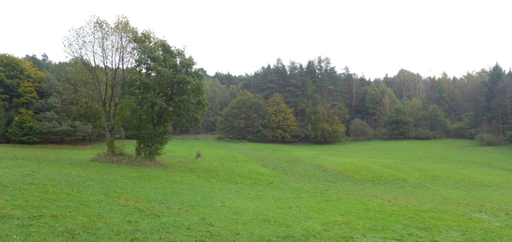
Wanderung auf Wegen und Pfaden durch das Himmelreich (Halbinsel im Main bei Kreuzwertheim). Zunächst dem Wittwichsbach Richtung Main folgend, dann am Main entlang zur Schleuse bei Eichel. Auf Pfaden ansteigend bis zum Kamm des Himmelreichs und dort entlang wieder zurück zum Ausgangspunkt.
Further information at
http://tourismus-triefenstein.de/natur--kultur/natur/das-himmelreich/index.htmlTúra fotóalbuma
Túratérkép és magasságprofil
Minimum height 114 m
Maximum height 232 m
Megjegyzések

Parken in Kreuzwertheim "Im Laufer".
GPS trackek
Trackpoints-
GPX / Garmin Map Source (gpx) download
-
TCX / Garmin Training Center® (tcx) download
-
CRS / Garmin Training Center® (crs) download
-
Google Earth (kml) download
-
G7ToWin (g7t) download
-
TTQV (trk) download
-
Overlay (ovl) download
-
Fugawi (txt) download
-
Kompass (DAV) Track (tk) download
-
Túralap (pdf) download
-
Original file of the author (gpx) download
Add to my favorites
Remove from my favorites
Edit tags
Open track
My score
Rate


