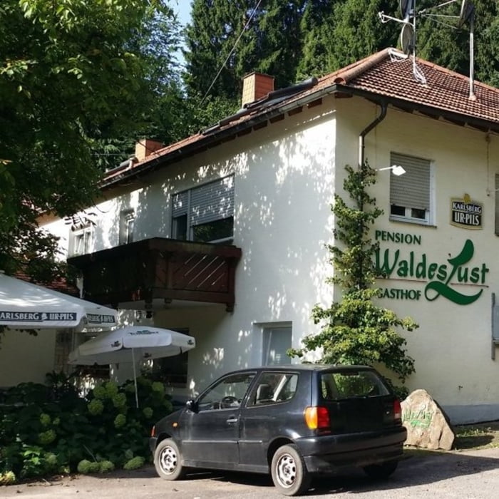
Startpunkt der Tour ist der Parkplatz gegenüber dem Gasthof Waldeslust. Auf schönen Waldpfaden und Forstwirtschaftswegen führt die Strecke nach Böllenborn und wieder zurück nach Reisdorf.
Túra fotóalbuma
Túratérkép és magasságprofil
Minimum height 260 m
Maximum height 496 m
Megjegyzések

GPS trackek
Trackpoints-
GPX / Garmin Map Source (gpx) download
-
TCX / Garmin Training Center® (tcx) download
-
CRS / Garmin Training Center® (crs) download
-
Google Earth (kml) download
-
G7ToWin (g7t) download
-
TTQV (trk) download
-
Overlay (ovl) download
-
Fugawi (txt) download
-
Kompass (DAV) Track (tk) download
-
Túralap (pdf) download
-
Original file of the author (gpx) download
Add to my favorites
Remove from my favorites
Edit tags
Open track
My score
Rate


