Login

Elfelejtetted a jelszód?

Cookies have to be accepted!
Your browser's cookie functionality is disabled. Please enable this functionality.

Not a member yet?

Register now
Login

Available for registred users only

Log in to use this feature.

Elfelejtetted a jelszód?

Cookies have to be accepted!
Your browser's cookie functionality is disabled. Please enable this functionality.

Not a member yet?

Register now
Filter
Kategóriák
Advanced filters
  • Hosszúság (km)
  • Szintkülönbség
Szűrő elmentése Reset filter

TrackRank

QRCode

Technical data

Hosszúság9,8 km Szintkülönbség667 m Way down644 m Tartam04:00 h:m Dátum07.02.2015
Értékelések Author Vidék Szórakozás Kondíció Technika

Statisztika

300 Views Értékelések 23 Letöltések átlag
Rate
  • Túralap
  • Megközelítés
  • Letöltések
Greith - linke Forststraße - nach ca. 700m durch den Wald bergauf - vorbei am Schottenkogel auf dem Grat bis zum Turntaler Kogel - Abfahrt über Turnauer Alm - Rosenfeldalm - Greith.

Túra fotóalbuma

Túratérkép és magasságprofil

  • Open Street Map
  • Google
Minimum height 927 m Maximum height 1608 m Részletes nézet

More about the tour author

grinsekota
Member since 2011

Send private message

Megjegyzések

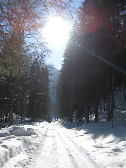
Forststraße von Turnau nach Greith ca. 6 km


GPS trackek

Trackpoints
  • GPX / Garmin Map Source (gpx) download
  • TCX / Garmin Training Center® (tcx) download
  • CRS / Garmin Training Center® (crs) download
  • Google Earth (kml) download
  • G7ToWin (g7t) download
  • TTQV (trk) download
  • Overlay (ovl) download
  • Fugawi (txt) download
  • Kompass (DAV) Track (tk) download
  • Túralap (pdf) download
  • Original file of the author (gpx) download

More about the tour author

grinsekota
Member since 2011

Send private message
Share track
Add to my favorites
Remove from my favorites
Edit tags
My score
Rate
Túra: Turntaler Kogel
jelleg:
Hosszúság: 9,8 km
Evaluated on:
Tartam:
Day(s)
Hour(s)
Minute(s)
Értékelés: Vidék Szórakozás Kondíció Technika