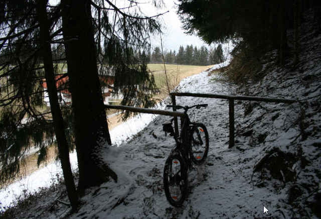
Kleine Runde um und auf den Kienberg
Start ist am Gashthof, direkt über der Autobahn.
Meist Forstwege, vom Kienberg hinab geht es ziemlich steil runter, nur bei trockenem Wetter spurenfrei fahrbar.
Start ist am Gashthof, direkt über der Autobahn.
Meist Forstwege, vom Kienberg hinab geht es ziemlich steil runter, nur bei trockenem Wetter spurenfrei fahrbar.
Túratérkép és magasságprofil
Minimum height 577 m
Maximum height 826 m
Megjegyzések

GPS trackek
Trackpoints-
GPX / Garmin Map Source (gpx) download
-
TCX / Garmin Training Center® (tcx) download
-
CRS / Garmin Training Center® (crs) download
-
Google Earth (kml) download
-
G7ToWin (g7t) download
-
TTQV (trk) download
-
Overlay (ovl) download
-
Fugawi (txt) download
-
Kompass (DAV) Track (tk) download
-
Túralap (pdf) download
-
Original file of the author (gpx) download
Add to my favorites
Remove from my favorites
Edit tags
Open track
My score
Rate

