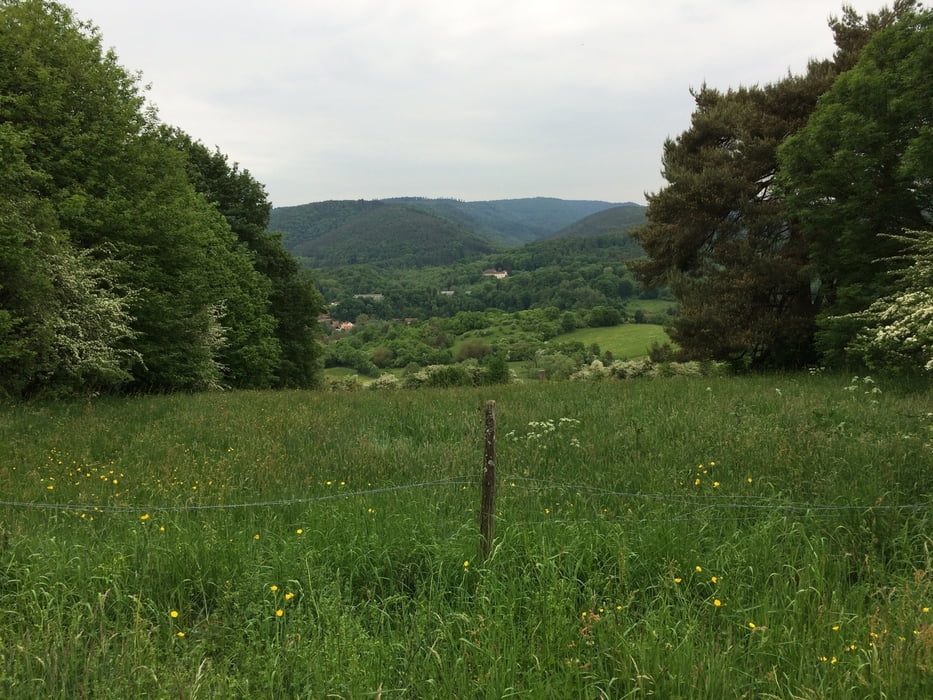
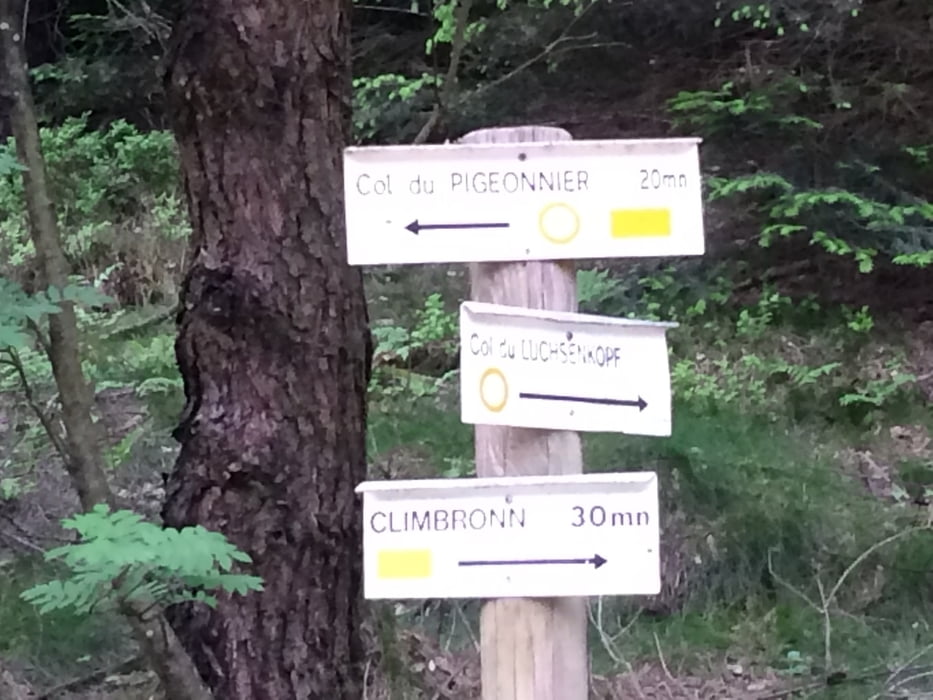
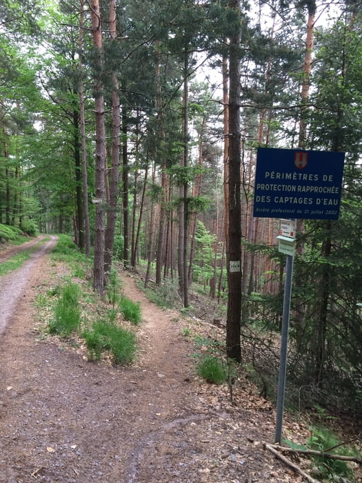
Eine sehr gemütliche Nachmittagsrunde von ca. 2h Fahrzeit. Wissembourg war unser Ausgangspunkte, eine sehr schöne Stadt im nördlichen Elsass. Von da aus der Lauter entlang in Richtung St. Germannshof bis wir dann irgendwann das Tal verlassen und links in Richtung Climbach gemütlich aber stetig den Berg hinaufradeln. In Climbach angekommen in Richtung Col de Pigeonnier und von da an geht der SingleTrail bis fast hinunter nach Wissembourg wieder zurück.
Túra fotóalbuma
Túratérkép és magasságprofil
Minimum height 153 m
Maximum height 426 m
Megjegyzések
GPS trackek
Trackpoints-
GPX / Garmin Map Source (gpx) download
-
TCX / Garmin Training Center® (tcx) download
-
CRS / Garmin Training Center® (crs) download
-
Google Earth (kml) download
-
G7ToWin (g7t) download
-
TTQV (trk) download
-
Overlay (ovl) download
-
Fugawi (txt) download
-
Kompass (DAV) Track (tk) download
-
Túralap (pdf) download
-
Original file of the author (gpx) download
Add to my favorites
Remove from my favorites
Edit tags
Open track
My score
Rate


Tour