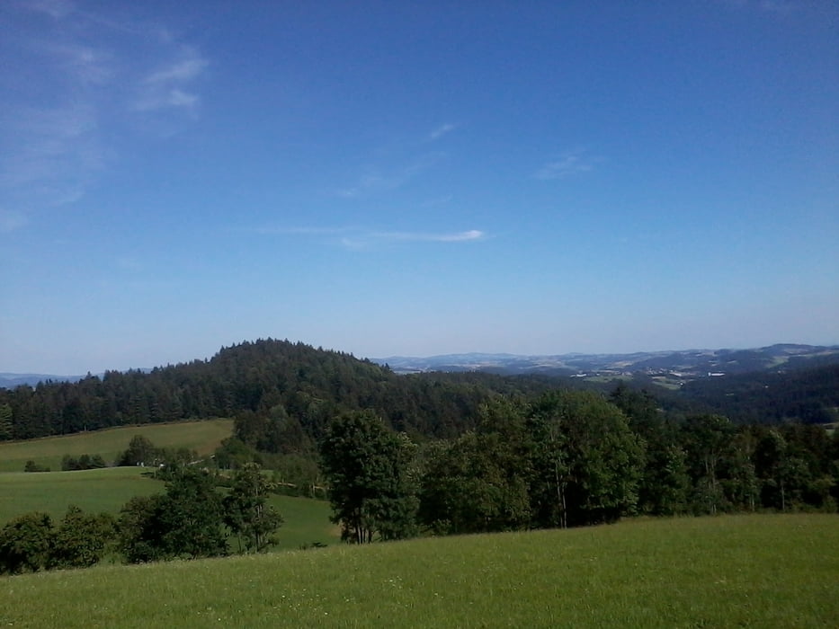
Rundfahrt um Rohrbach in Oberösterreich.
Von Rohrbach geht's über Sprinzenstein bergab in Richtung Hühnergeschrei. Anstieg nach Hörbich und ab dort weiter auf dem Mittellandweg Nr 150 zum Ameisberg. Teilweise steile Anstiege auf Wanderwegen. Über Mitternschlag auf teilweise auf dem Wanderweg Nr 110 in Richtung Peilstein. Auffahrt nach Kirchbach und Oberneudorf. Abfahrt Richtung Oepping und retour auf der alten Bundesstraße nach Rohrbach.
Túra fotóalbuma
Túratérkép és magasságprofil
Minimum height 445 m
Maximum height 841 m
Megjegyzések

GPS trackek
Trackpoints-
GPX / Garmin Map Source (gpx) download
-
TCX / Garmin Training Center® (tcx) download
-
CRS / Garmin Training Center® (crs) download
-
Google Earth (kml) download
-
G7ToWin (g7t) download
-
TTQV (trk) download
-
Overlay (ovl) download
-
Fugawi (txt) download
-
Kompass (DAV) Track (tk) download
-
Túralap (pdf) download
-
Original file of the author (gpx) download
Add to my favorites
Remove from my favorites
Edit tags
Open track
My score
Rate


