

Napomena: Trekking, E-bike, Family
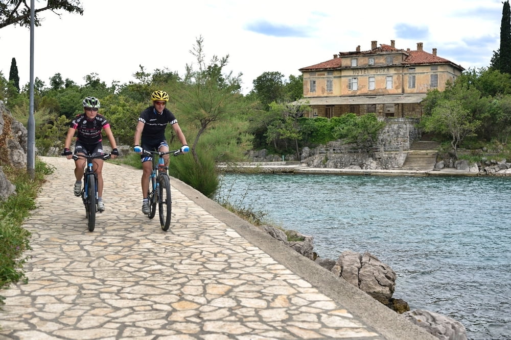
Staza br. 2 slična je stazi broj 1 s razlikom što je i fizički i tehnički manje zahtjevna pa je prilagođena i za potpune početnike kao i za rekreativce i obitelji. Početak je u Njivicama i vodi makadamskim i asfaltiranim putevima do Omišlja koji svakako treba razlgedati. Povratak je slabo prometnim asfaltiranim i makadamskim cestama nazad u Njivice. Staza samo jednim kratkim dijelom ide po glavnoj krčkoj prometnici, ima svega 220 metara uspona te je stoga pogodna i za obiteljsku vožnju.
Note: Trekking, E-bike, Family
Route No. 2 is similar to the first one only it is physically and technically less demanding and therefore appropriate for complete beginners, recreational mountain bikers and families. It starts in Njivice and follows on macadam and asphalt roads towards Omišalj which you should definitely see. Return is on unfrequented asphalt and macadam roads back to Njivice. The route only in its one short part goes on the main Krk roadway and has only 220 m of ascent and is therefore suitable for family rides as well.
www.adriabike.hr
http://www.njiviceresort.com
Túratérkép és magasságprofil
Minimum height 1 m
Maximum height 92 m
More about the tour author
|
|
AdriaBikeHotels |
Megjegyzések

GPS trackek
Trackpoints-
GPX / Garmin Map Source (gpx) download
-
TCX / Garmin Training Center® (tcx) download
-
CRS / Garmin Training Center® (crs) download
-
Google Earth (kml) download
-
G7ToWin (g7t) download
-
TTQV (trk) download
-
Overlay (ovl) download
-
Fugawi (txt) download
-
Kompass (DAV) Track (tk) download
-
Túralap (pdf) download
-
Original file of the author (gpx) download
More about the tour author
|
|
AdriaBikeHotels |
Add to my favorites
Remove from my favorites
Edit tags
Open track
My score
Rate