Von Rohrbach auf der alten Haslacherstraße nach Haslach.
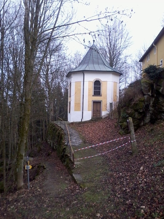
Vorher kurzer Abstecher zur Kirche Maria Trost
Nach Haslach Auffahrt zum Ekartsberg. Umrundung des Berges unterhalb des Gipfels. Abfahrt auf den Tanzbodenweg retour nach Haslach.
Weiter auf Wanderwegen und Radwegen nach St Oswald bei Haslach.
Auf Güterweg über Wurmbrand nach Aigen im Mühlkreis.
Auffahrt nach Breitenstein.
Abfahrt über Oberneudorf nach Oepping.
Auf der alten Bundesstraße retour nach Rohrbach
Túra fotóalbuma
Túratérkép és magasságprofil
Minimum height 498 m
Maximum height 862 m
Megjegyzések

GPS trackek
Trackpoints-
GPX / Garmin Map Source (gpx) download
-
TCX / Garmin Training Center® (tcx) download
-
CRS / Garmin Training Center® (crs) download
-
Google Earth (kml) download
-
G7ToWin (g7t) download
-
TTQV (trk) download
-
Overlay (ovl) download
-
Fugawi (txt) download
-
Kompass (DAV) Track (tk) download
-
Túralap (pdf) download
-
Original file of the author (gpx) download
Add to my favorites
Remove from my favorites
Edit tags
Open track
My score
Rate


