Login

Elfelejtetted a jelszód?

Cookies have to be accepted!
Your browser's cookie functionality is disabled. Please enable this functionality.

Not a member yet?

Register now
Login

Available for registred users only

Log in to use this feature.

Elfelejtetted a jelszód?

Cookies have to be accepted!
Your browser's cookie functionality is disabled. Please enable this functionality.

Not a member yet?

Register now
Filter
Kategóriák
Advanced filters
  • Hosszúság (km)
  • Szintkülönbség
Szűrő elmentése Reset filter

TrackRank

QRCode

Technical data

Hosszúság45,2 km Szintkülönbség1127 m Way down1124 m Tartam00:00 h:m Dátum17.02.2016
Értékelések Author Vidék Szórakozás Kondíció Technika

Statisztika

959 Views Értékelések 53 Letöltések átlag
Rate
  • Túralap
  • Megközelítés
  • Letöltések
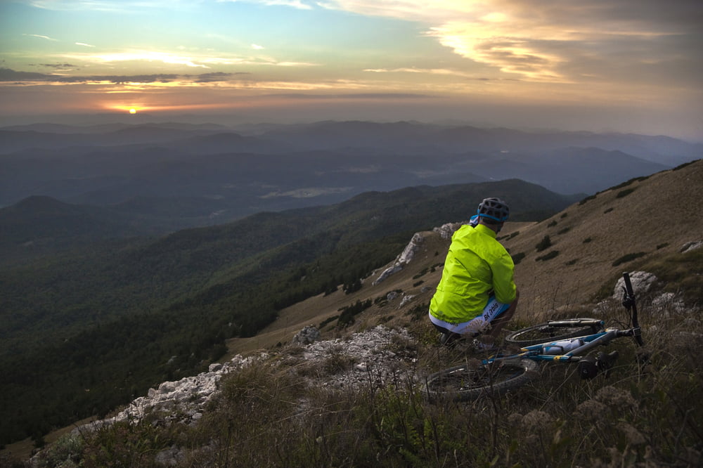
Mountainbike route almost to the top of Licka Pljesevica mountain.

Túra fotóalbuma

Túratérkép és magasságprofil

  • Open Street Map
  • Google
Minimum height 621 m Maximum height 1282 m Részletes nézet

More about the tour author

PlitviceActive
Member since 2013

Send private message

Megjegyzések

Route starts and ends in the center of Korenica (control point PJ 02).

Route itinerary (control points numbers): PJ02 - PJ03 - PJ39 - PJ38 - PJ37 - PJ36 - PJ35 - PJ34 - PJ33 - PJ21 - PJ22 - PJ25 - PJ26 - PJ27 - PJ28 - PJ29 - PJ30 - PJ18 - PJ19 - PJ19a - PJ03a - PJ04a - PJ04 - PJ05 - PJ06 - PJ07 - PJ01 - PJ02

GPS trackek

Trackpoints
  • GPX / Garmin Map Source (gpx) download
  • TCX / Garmin Training Center® (tcx) download
  • CRS / Garmin Training Center® (crs) download
  • Google Earth (kml) download
  • G7ToWin (g7t) download
  • TTQV (trk) download
  • Overlay (ovl) download
  • Fugawi (txt) download
  • Kompass (DAV) Track (tk) download
  • Túralap (pdf) download
  • Original file of the author (gpx) download

More about the tour author

PlitviceActive
Member since 2013

Send private message
Share track
Add to my favorites
Remove from my favorites
Edit tags
My score
Rate
Túra: MTB 03 Gola Pljesevica
jelleg: Hegyi kerékpár
Hosszúság: 45,2 km
Evaluated on:
Tartam:
Day(s)
Hour(s)
Minute(s)
Értékelés: Vidék Szórakozás Kondíció Technika