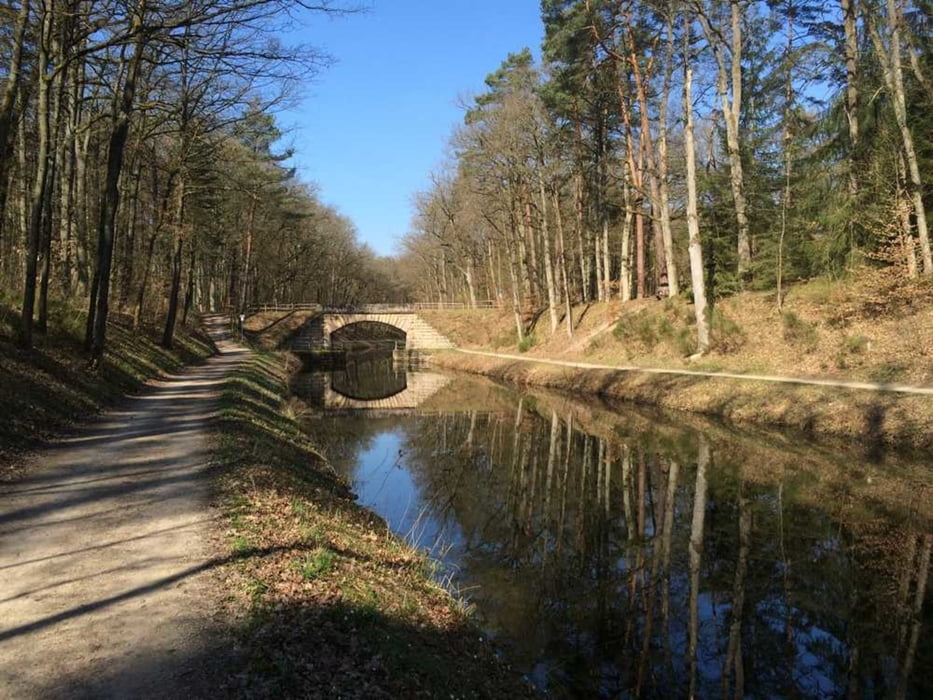
Leichte Ausfahrt für MTB oder Crossbike. Die Runde bewegt sich meist auf Straße und Schotterwegen, kleine Trailabschnitte sind jedoch auch vorhanden. Wir treffen auf den Kanal (Nürnberg- Main Donau Weg) und können uns am Birkensee eine kurze Pause gönnen bevor es weiter nach Dehnberg zum Italiener geht.
Viel Spaß wünscht die Radsportzentrale Hersbruck
Túratérkép és magasságprofil
Minimum height 261 m
Maximum height 607 m
Megjegyzések

GPS trackek
Trackpoints-
GPX / Garmin Map Source (gpx) download
-
TCX / Garmin Training Center® (tcx) download
-
CRS / Garmin Training Center® (crs) download
-
Google Earth (kml) download
-
G7ToWin (g7t) download
-
TTQV (trk) download
-
Overlay (ovl) download
-
Fugawi (txt) download
-
Kompass (DAV) Track (tk) download
-
Túralap (pdf) download
-
Original file of the author (tcx) download
Add to my favorites
Remove from my favorites
Edit tags
Open track
My score
Rate


