
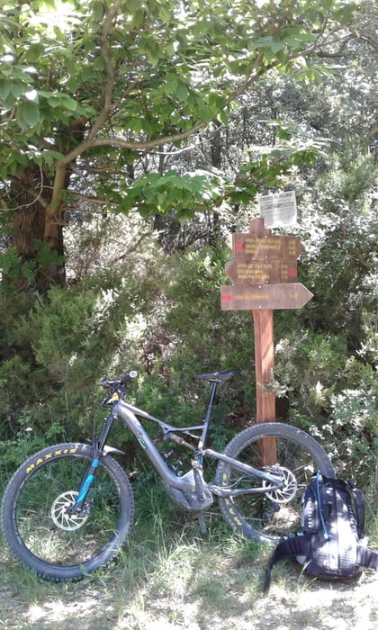

von Finale (Camping Tahiti) nach Final Borgo und hinauf zum Castel Gavone. Von hier über schmale Hinterhofwege nach Calice Ligure und erst auf Asphalt dann auf Fahrweg hinauf zur Nato-Base. Rechts neben dem Zaun geht der Trail los und endet erst wieder kurz vor Feligno. Alles fester Lehmboden, S1 nur eine Stelle mit S2. Flowig zu fahren. In Feligno wieder hoch nach Cia und zurück nach Final Borgo. Trail ist gut zu fahren, geht meist eben mit leichtem Gefälle. Auch hier wieder über Hinterhofwege. Ich bin begeistert.
Túratérkép és magasságprofil
Minimum height -12 m
Maximum height 1028 m
More about the tour author
|
|
Fruehaufsteher |
Megjegyzések

GPS trackek
Trackpoints-
GPX / Garmin Map Source (gpx) download
-
TCX / Garmin Training Center® (tcx) download
-
CRS / Garmin Training Center® (crs) download
-
Google Earth (kml) download
-
G7ToWin (g7t) download
-
TTQV (trk) download
-
Overlay (ovl) download
-
Fugawi (txt) download
-
Kompass (DAV) Track (tk) download
-
Túralap (pdf) download
-
Original file of the author (gpx) download
More about the tour author
|
|
Fruehaufsteher |
Add to my favorites
Remove from my favorites
Edit tags
Open track
My score
Rate