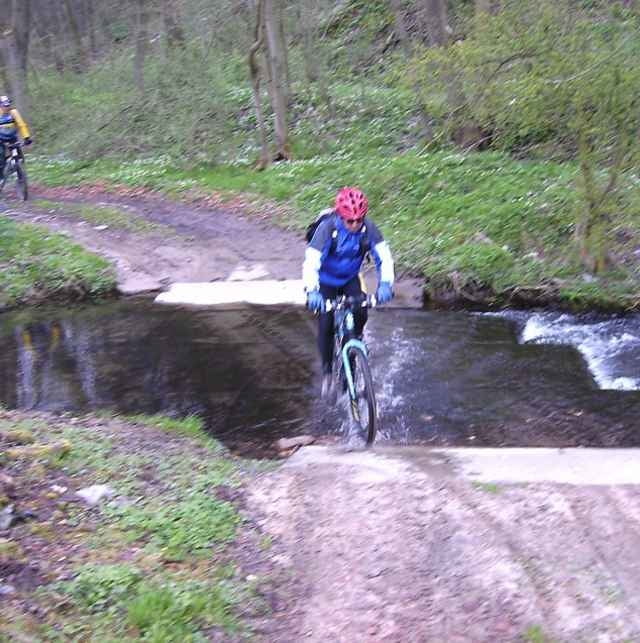
Die Strecke zu 70% Wald und Wiesenanteil mit Trails versehen. Ab Rothenberga den alten Bahndamm Richtung Lossa folgen.
Further information at
http://www.mtb-news.de/forum/showpost.php?p=4688695&postcount=221Túra fotóalbuma
Túratérkép és magasságprofil
Minimum height 99999 m
Maximum height -99999 m
Megjegyzések

Ab Bahnhof Freyburg/Unstrut Straße Richtung Balgstädt ca. 800m, dann die Nebenstraße links den Berg hoch, dort Einstieg Finnewanderweg.
Kennzeichnung grünes Rechteck neu, alte Markierung Rotes Dreieck.
Kennzeichnung grünes Rechteck neu, alte Markierung Rotes Dreieck.
GPS trackek
Trackpoints-
GPX / Garmin Map Source (gpx) download
-
TCX / Garmin Training Center® (tcx) download
-
CRS / Garmin Training Center® (crs) download
-
Google Earth (kml) download
-
G7ToWin (g7t) download
-
TTQV (trk) download
-
Overlay (ovl) download
-
Fugawi (txt) download
-
Kompass (DAV) Track (tk) download
-
Túralap (pdf) download
-
Original file of the author (gpx) download
Add to my favorites
Remove from my favorites
Edit tags
Open track
My score
Rate


