Login

Elfelejtetted a jelszód?

Cookies have to be accepted!
Your browser's cookie functionality is disabled. Please enable this functionality.

Not a member yet?

Register now
Login

Available for registred users only

Log in to use this feature.

Elfelejtetted a jelszód?

Cookies have to be accepted!
Your browser's cookie functionality is disabled. Please enable this functionality.

Not a member yet?

Register now
Filter
Kategóriák
Advanced filters
  • Hosszúság (km)
  • Szintkülönbség
Szűrő elmentése Reset filter

TrackRank

QRCode

Technical data

Hosszúság12,4 km Szintkülönbség653 m Way down662 m Tartam03:19 h:m Dátum19.08.2017
Értékelések Author Vidék Szórakozás Kondíció Technika

Statisztika

438 Views Értékelések 28 Letöltések átlag
Rate
  • Túralap
  • Megközelítés
  • Letöltések
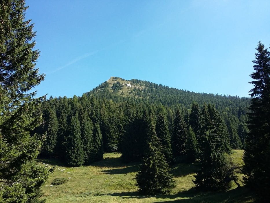
Bella escursione nella zona trentina dell'altopiano di Asiago. Impegnativa la parte finale verso la cima.

Further information at

https://www.magicoveneto.it/Altipian/ALTN/ForteSpitzVerle.htm

Túra fotóalbuma

Túratérkép és magasságprofil

  • Open Street Map
  • Google
Minimum height 1363 m Maximum height 1898 m Részletes nézet

More about the tour author

agosflavio
Member since 2013

Send private message

Megjegyzések

GPS trackek

Trackpoints
  • GPX / Garmin Map Source (gpx) download
  • TCX / Garmin Training Center® (tcx) download
  • CRS / Garmin Training Center® (crs) download
  • Google Earth (kml) download
  • G7ToWin (g7t) download
  • TTQV (trk) download
  • Overlay (ovl) download
  • Fugawi (txt) download
  • Kompass (DAV) Track (tk) download
  • Túralap (pdf) download
  • Original file of the author (gpx) download

More about the tour author

agosflavio
Member since 2013

Send private message
Share track
Add to my favorites
Remove from my favorites
Edit tags
My score
Rate
Túra: Escursione da malga Palù a cima Vezzena
jelleg: Gyalogtúrázás
Hosszúság: 12,4 km
Evaluated on:
Tartam:
Day(s)
Hour(s)
Minute(s)
Értékelés: Vidék Szórakozás Kondíció Technika