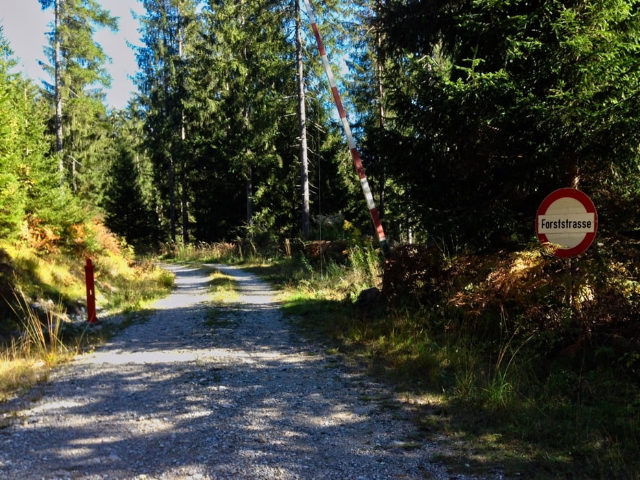
Dies ist ein kleiner Trail ausgehend vom Schluga Camping in Obervellach. DIe Auffahrt ist leicht und unspektakulär. Die Abfahrt ist ein zweiteiliger FlowTrail. Der erste Teil ist ein bischen steiler und minimal technisch, der zweite Teil ist sehr schön flowig und einfach zu fahren. Es gäbe noch einen dritten Teil, der am Ende sehr steil (wahrscheinlich unfahrbar) ist). Habe ich ausgelassen ist aber ganz leicht zu finden.
Túra fotóalbuma
Túratérkép és magasságprofil
Minimum height 99999 m
Maximum height -99999 m
Megjegyzések

Anfahrt über die B111 (Gailtalstr.) bis Abzweig Schild "Schluga Camping". Die Tour beginnt am Campingplatz bzw. Parkplatz Restaurant Schluga Camping.
GPS trackek
Trackpoints-
GPX / Garmin Map Source (gpx) download
-
TCX / Garmin Training Center® (tcx) download
-
CRS / Garmin Training Center® (crs) download
-
Google Earth (kml) download
-
G7ToWin (g7t) download
-
TTQV (trk) download
-
Overlay (ovl) download
-
Fugawi (txt) download
-
Kompass (DAV) Track (tk) download
-
Túralap (pdf) download
-
Original file of the author (gpx) download
Add to my favorites
Remove from my favorites
Edit tags
Open track
My score
Rate


