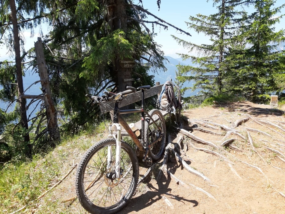
Start und Ziel in Gatschach
Rauf zum Mittagsnock 2 Schiebungen, die es in sich haben, bei der Gatschacher Weide muss man einen Graben queren - durchs Gedachs, und rauf zum Gipfel ist es tw eine Kletterei!
Unterm Gipfel wäre die Forststraße Richtung Naggler Alm wohl gescheiter gewesen. So bin ich dann runter ins Gitschtal, St. Lorenzen, um dann bei der ärgsten Hitze die ca 800 hm zur Radniger Alm in Angriff zu nehmen.
Keine gute Idee, das am Nachmittag zu machen!
Wieder mal in der Bodenalm eingekehrt. Freundlich. Und eine gute Kaspressknödelsuppe.
Insgesamt aufgrund der extremen Temperaturen eine sehr strapaziöse Tour. Nächstes Mal früher wegfahren!
Túra fotóalbuma
Túratérkép és magasságprofil
Megjegyzések

GPS trackek
Trackpoints-
GPX / Garmin Map Source (gpx) download
-
TCX / Garmin Training Center® (tcx) download
-
CRS / Garmin Training Center® (crs) download
-
Google Earth (kml) download
-
G7ToWin (g7t) download
-
TTQV (trk) download
-
Overlay (ovl) download
-
Fugawi (txt) download
-
Kompass (DAV) Track (tk) download
-
Túralap (pdf) download
-
Original file of the author (gpx) download


