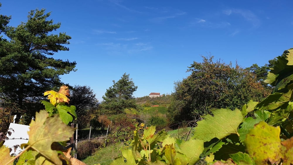
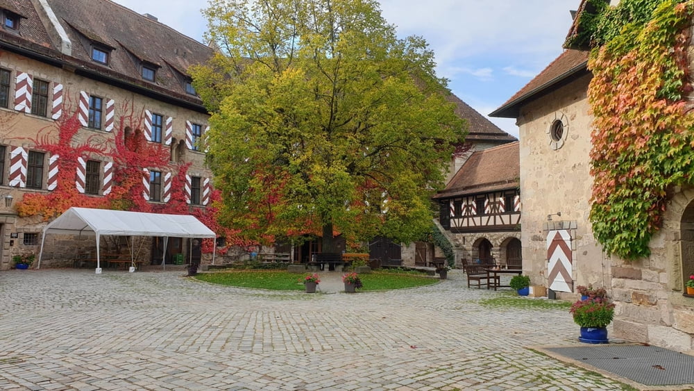
Wanderung in die Weinberge oberhalb von Ipsheim und zur Burg Hoheneck. Unterwegs Einkehrmöglichkeiten im Bewirtungshaus Weinwanderweg und im Gasthaus Willi Hufnagel "Gasthaus Grüner Baum"in Dietersheim.
Túra fotóalbuma
Túratérkép és magasságprofil
Minimum height 388 m
Maximum height 473 m
Megjegyzések

Über Neustadt/Aisch nach Beerbach. An der Straße Richtung Pechhütte parken.
GPS trackek
Trackpoints-
GPX / Garmin Map Source (gpx) download
-
TCX / Garmin Training Center® (tcx) download
-
CRS / Garmin Training Center® (crs) download
-
Google Earth (kml) download
-
G7ToWin (g7t) download
-
TTQV (trk) download
-
Overlay (ovl) download
-
Fugawi (txt) download
-
Kompass (DAV) Track (tk) download
-
Túralap (pdf) download
-
Original file of the author (gpx) download
Add to my favorites
Remove from my favorites
Edit tags
Open track
My score
Rate


